
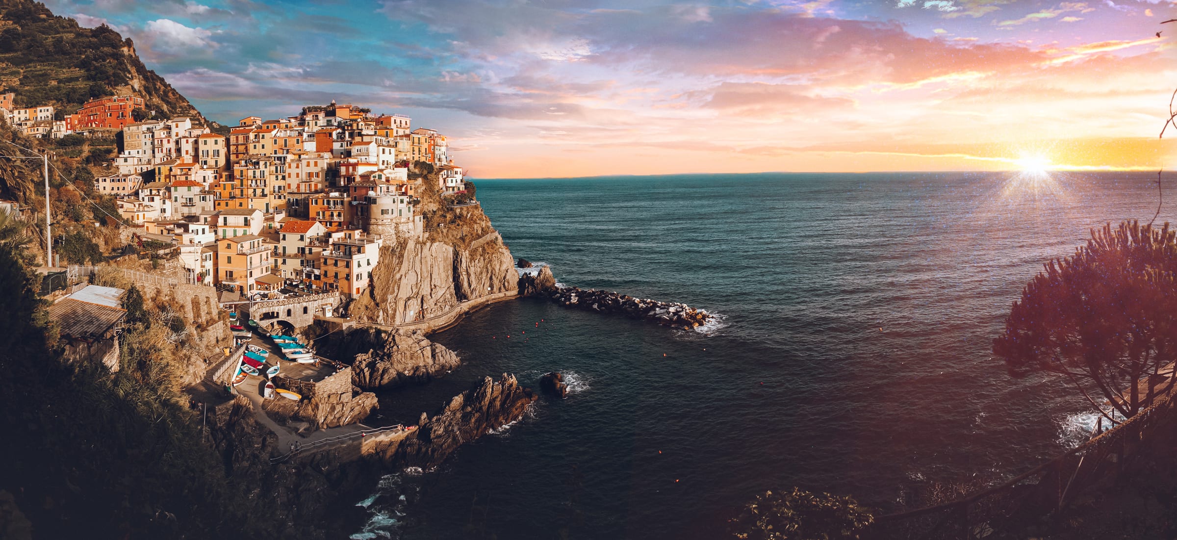
44.1063° N, 9.7275° E
Cinque Terre, Italy
Manarola at sunset, and a guide to hiking the Cinque Terre from Riomaggiore to Monterosso: the route on a map, what's open, and our tips.
44.1063° N, 9.7275° E
Manarola at sunset, and a guide to hiking the Cinque Terre from Riomaggiore to Monterosso: the route on a map, what's open, and our tips.

48.6105° N, 9.0531° E
Last Mitch Effort: a short family hike through the Schönbuch forest to the Weiler Hütte beer garden in Germany, and the little moments along the way.
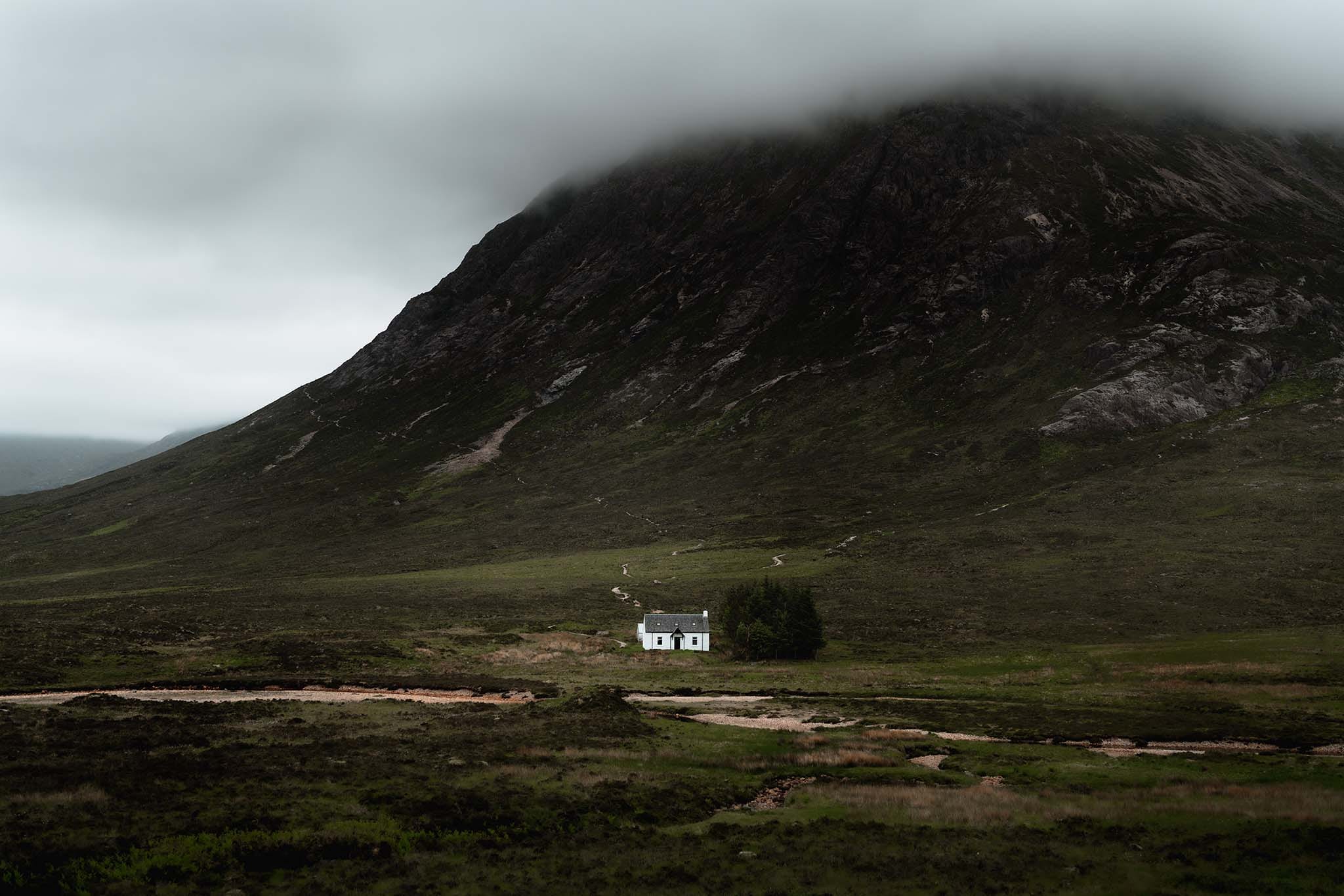
56.6617° N, 4.9043° W
Lagangarbh Hut, Glencoe's famous wee white house beneath Buachaille Etive Mòr: where to stand for the shot, where to park, and what else to see nearby.
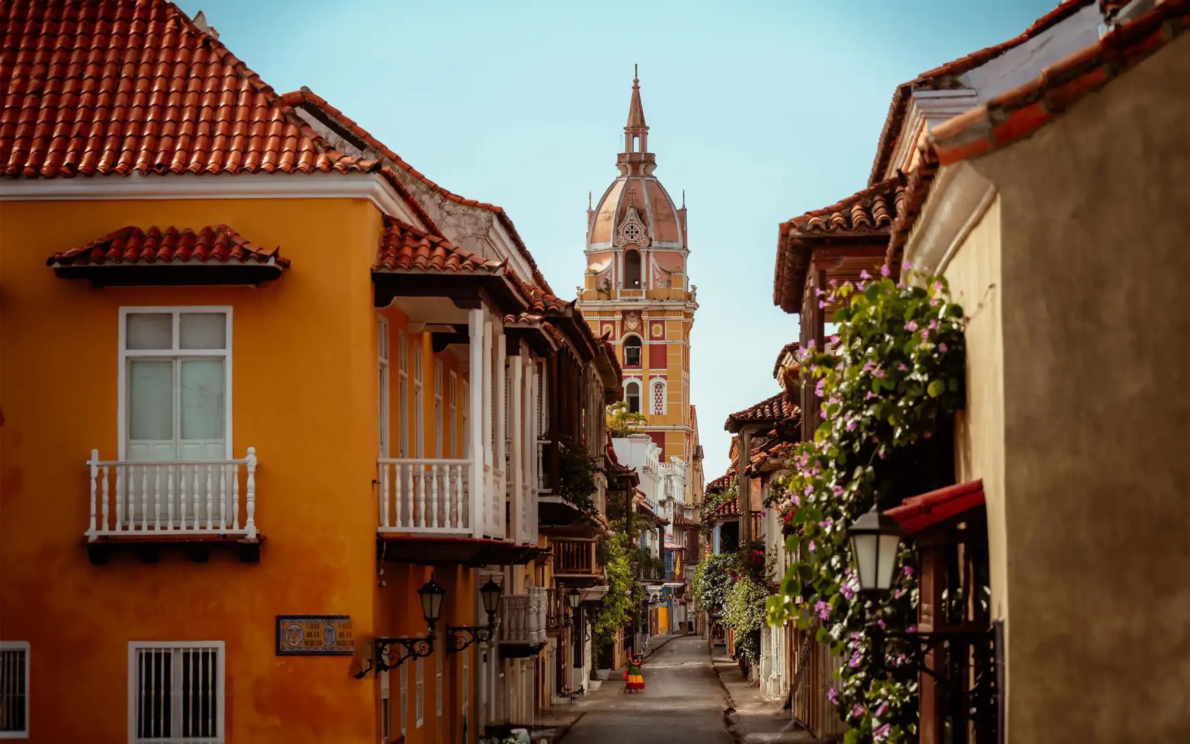
10.3932° N, 75.4832° W
The Old Town of Cartagena, a UNESCO World Heritage Site, a beautiful city, and a powerhouse of miltary history boasting some seriously impressive defenses.
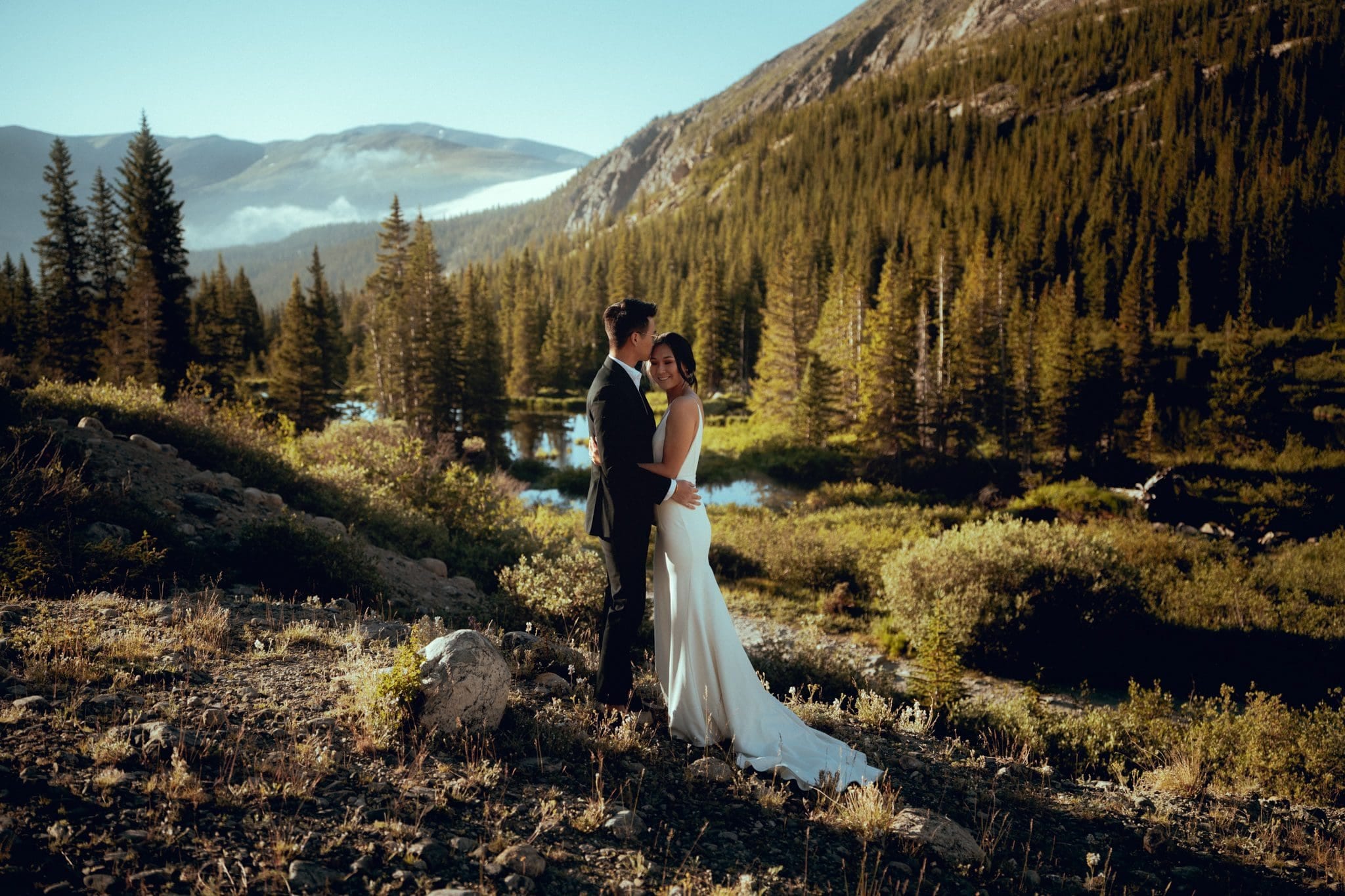
39.3859° N, 106.0812° W
Discover the breathtaking Blue Lakes near Breckenridge, Colorado, a stunning backdrop for elopements and photography with its high-altitude alpine lakes.
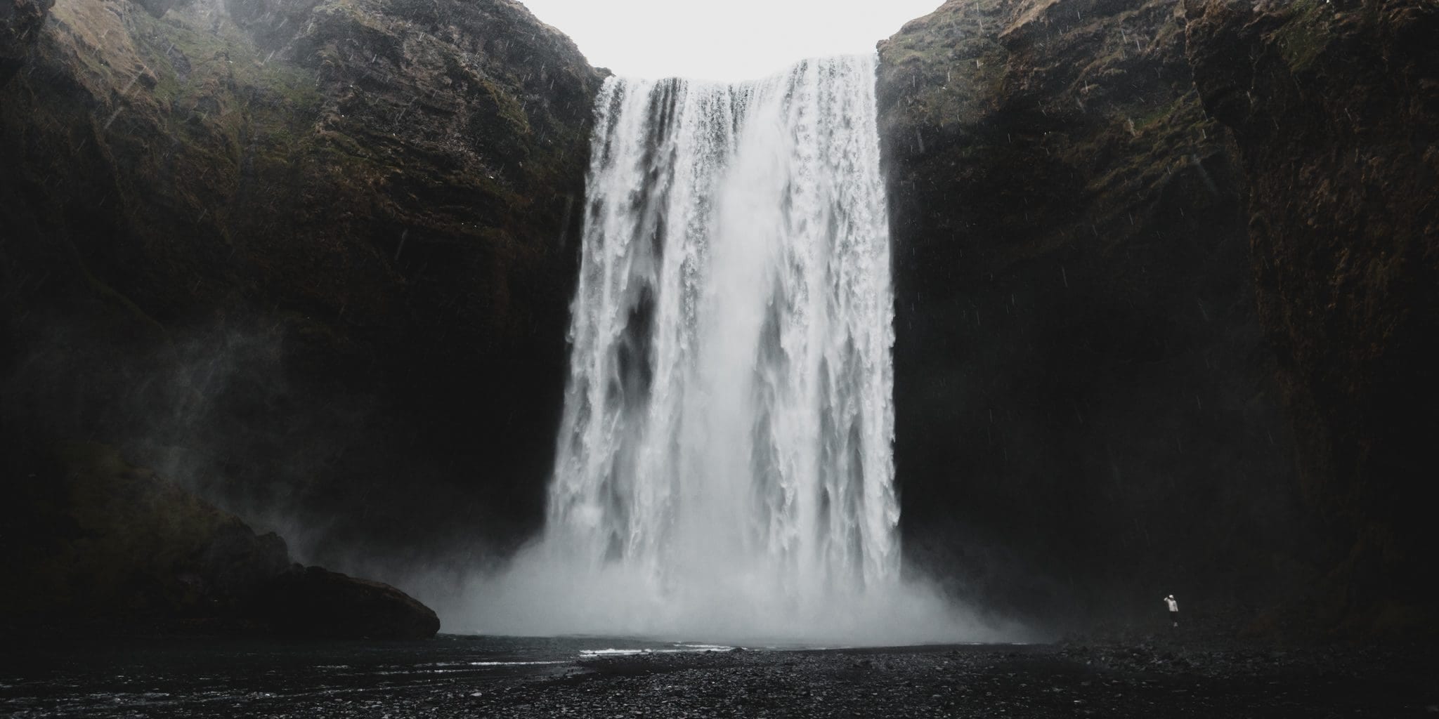
64.9631° N, 19.0208° W
We went on an unforgettable adventure along Iceland's Ring Road, a fully paved highway that circles the island with breathtaking landscapes and easy access.
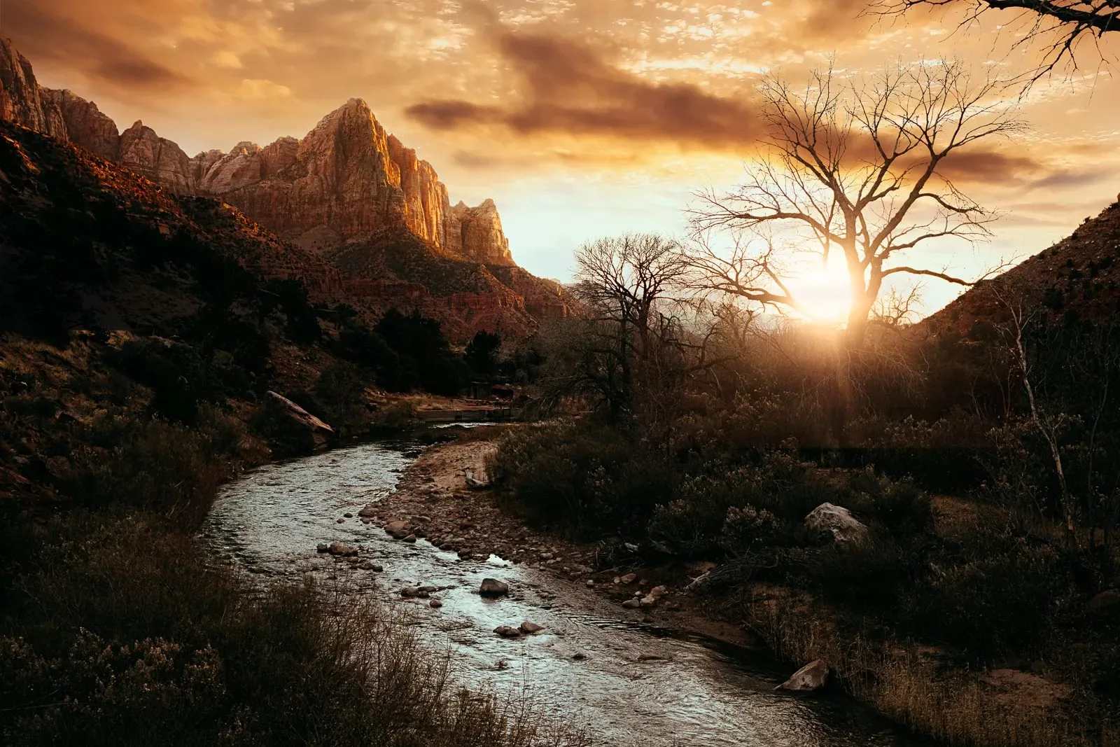
37.2982° N, 113.0263° W
Discover the beauty of Zion National Park through hiking and photography.Some of the best trails for capturing breathtaking landscapes, in the country.
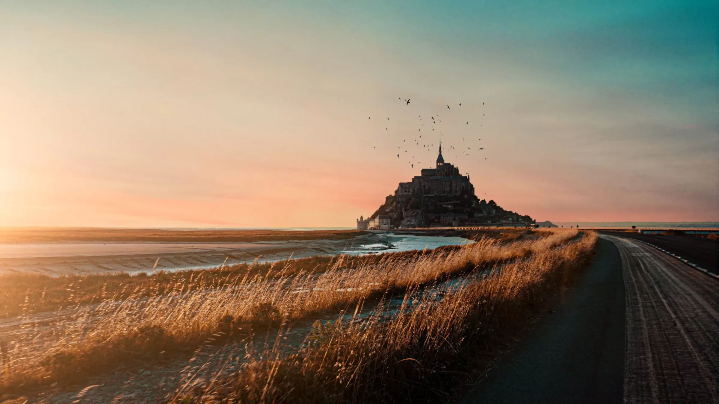
48.6361° N, 1.5115° W
Le Mont St. Michel, a UNESCO World Heritage Site. This iconic French abbey, surrounded by tidal flats and golden grasses, offers a truly majestic view.
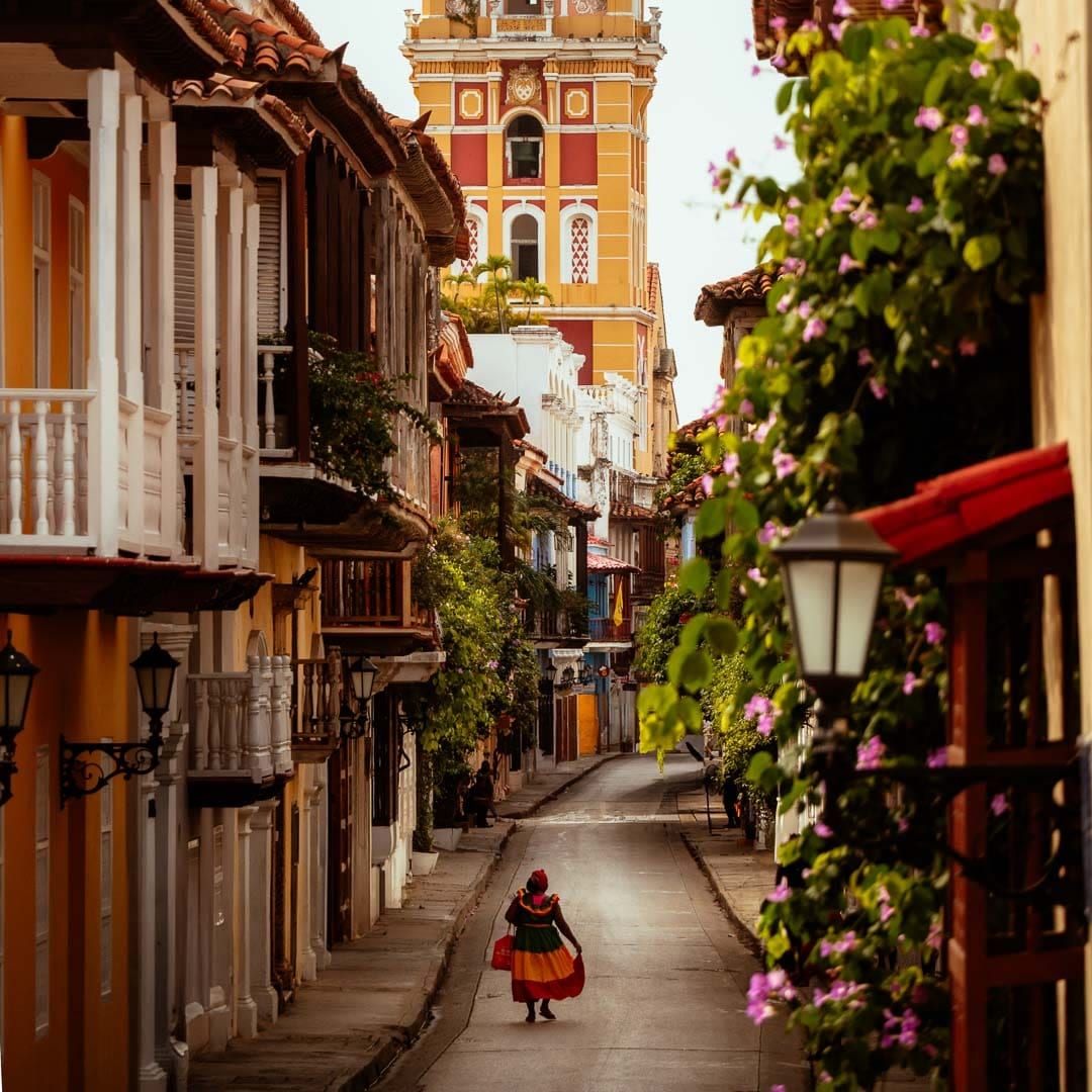
10.4230° N, 75.5492° W
A palenquera walking through the walled old town of Cartagena, Colombia.
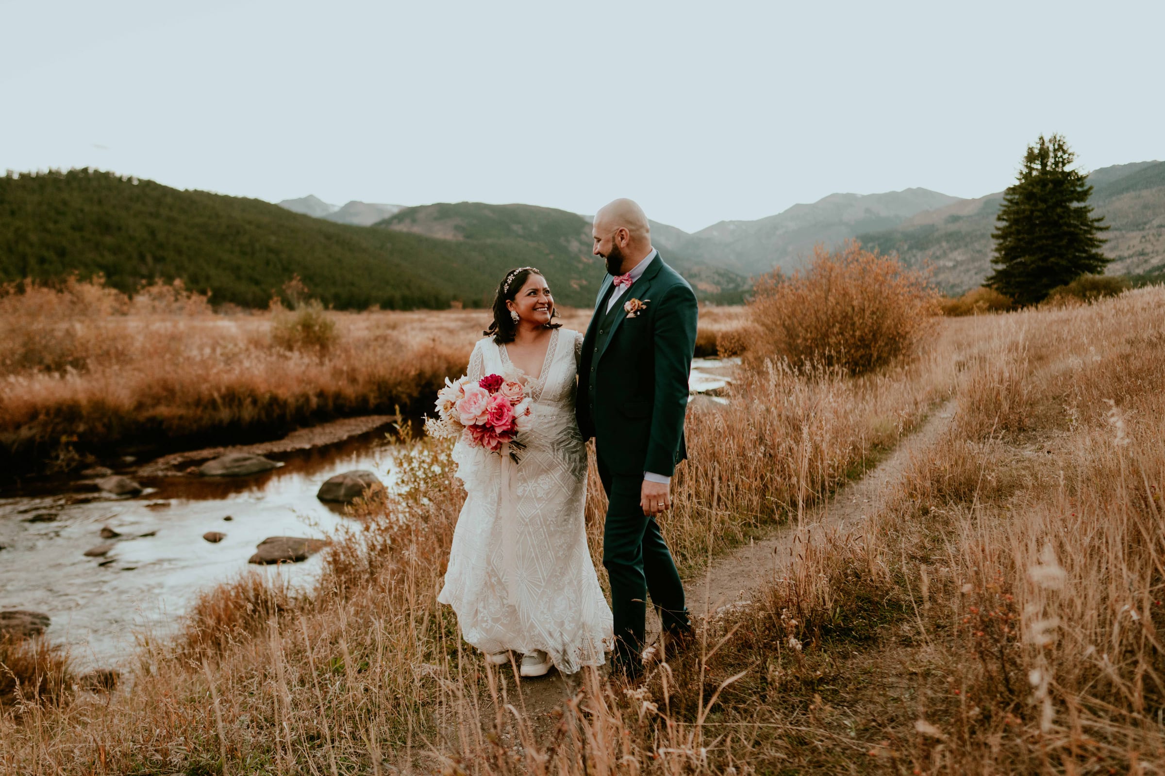
40.3583° N, 105.5836° W
A short, practical guide to eloping in Rocky Mountain National Park, Colorado: permits, timed entry, seasons, the best ceremony and photo spots on a map, and the Colorado marriage license.
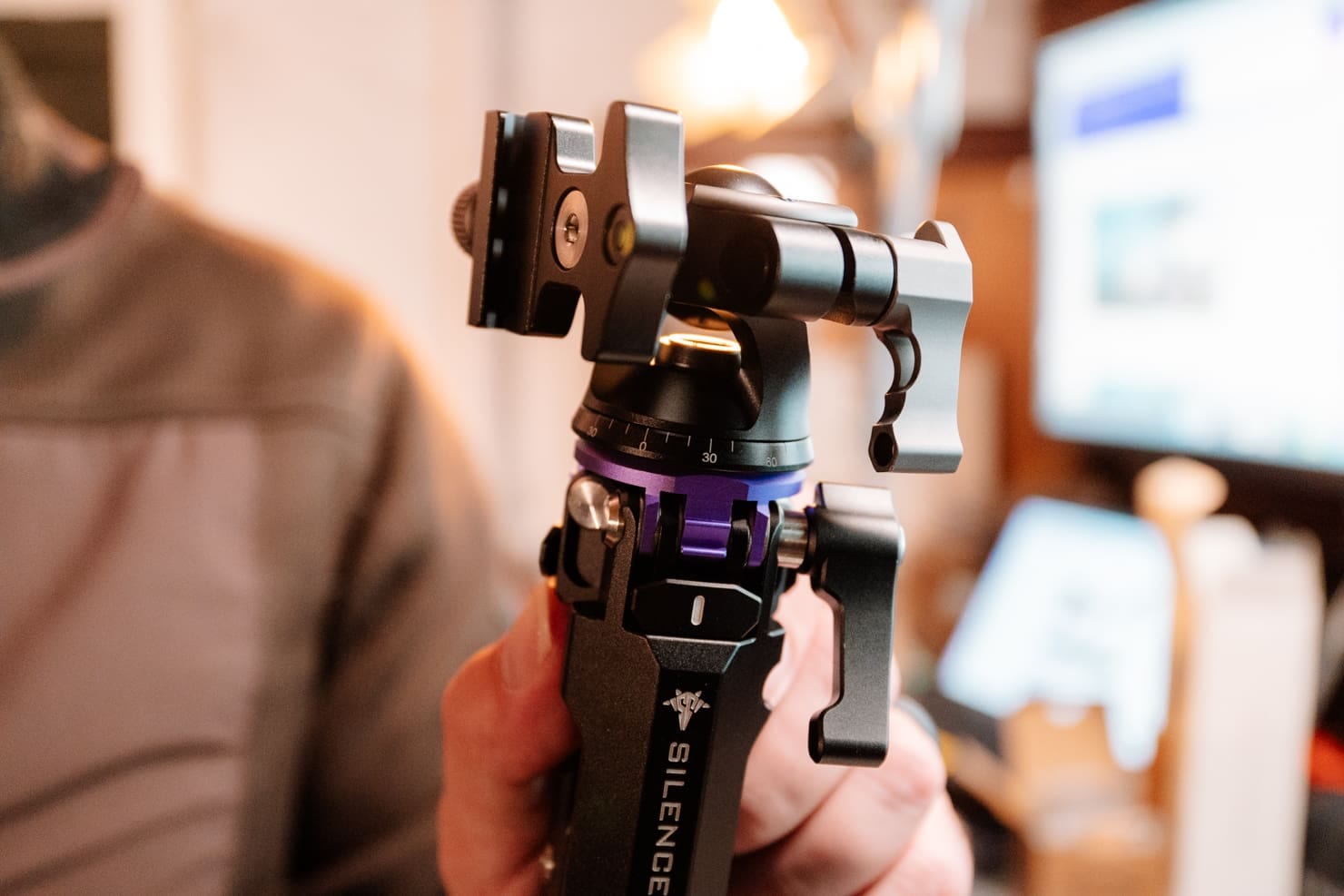
Gear
Unboxing and first impressions of the MAMBAPOD, a lightweight, all-metal travel tripod from Kickstarter. See our setup and initial thoughts on this compact, high-quality photography essential
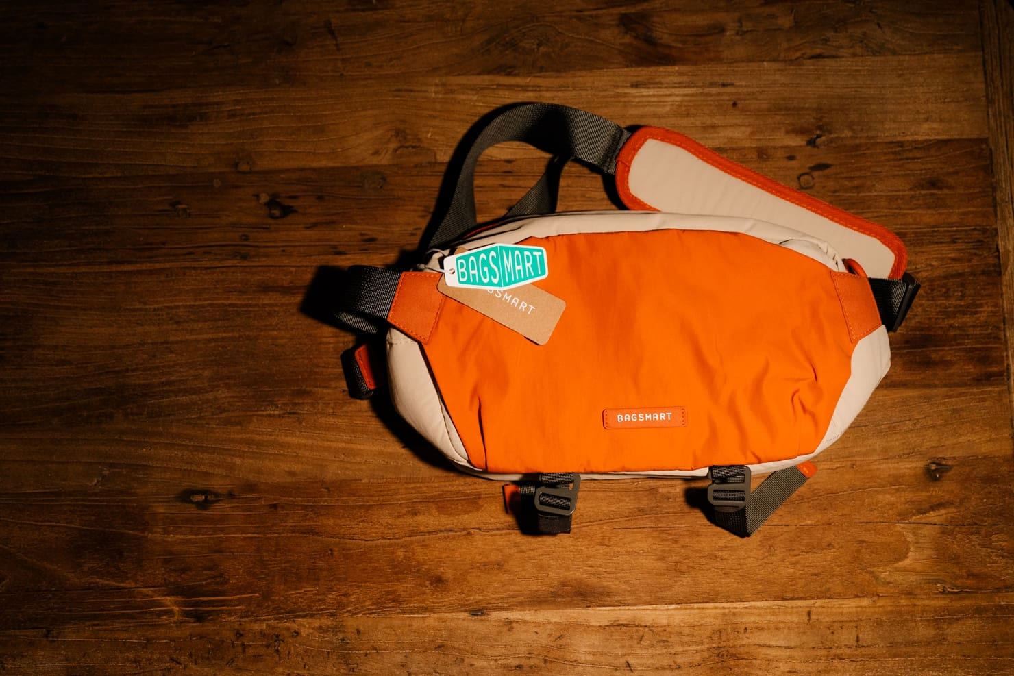
Gear
Our initial first look review of the Bagsmart Soar 6L camera bag explores its compact design, waterproof material, and convenient features perfect for photographers on the go.
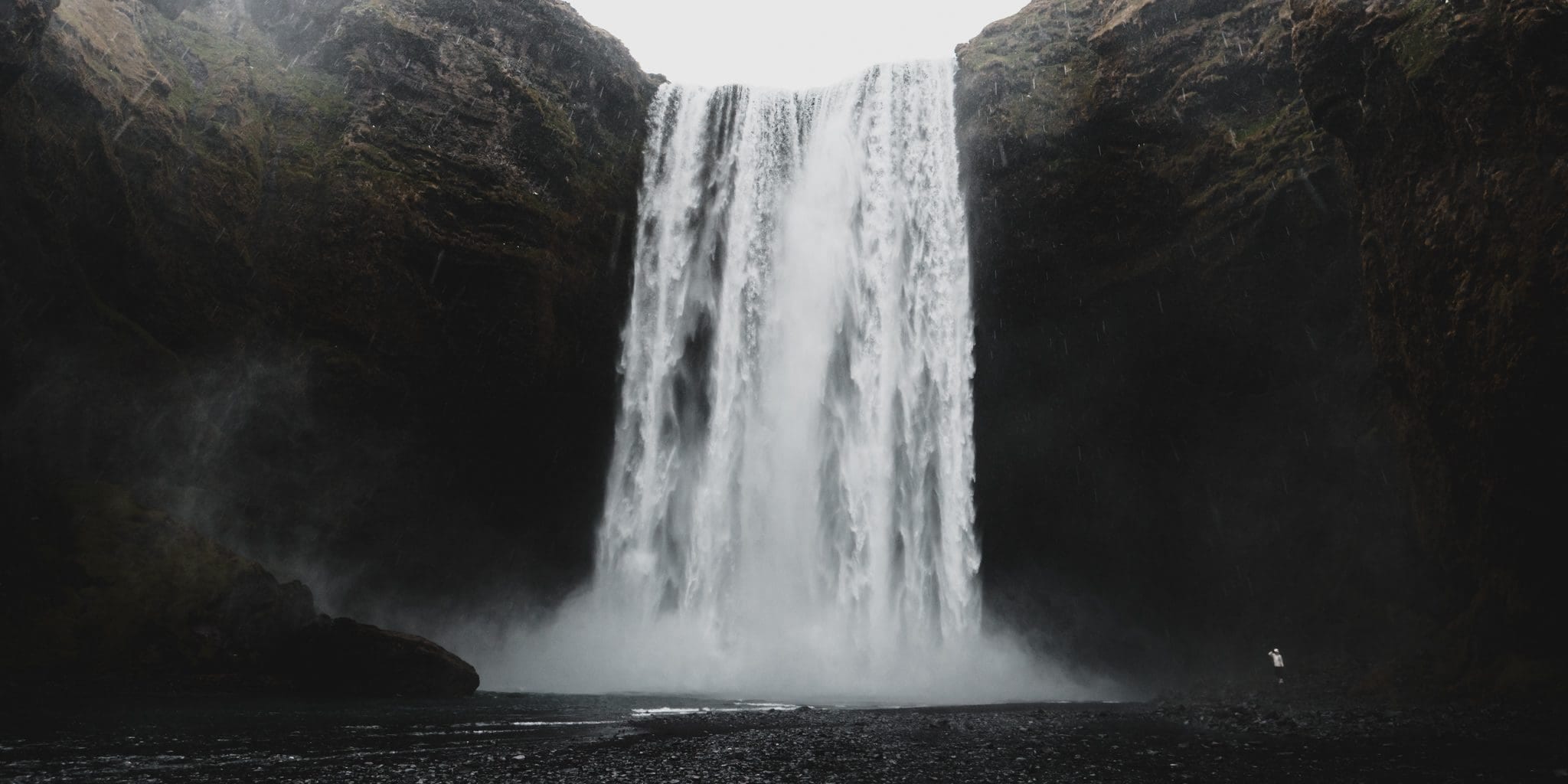
Portfolio, Hidden Gems
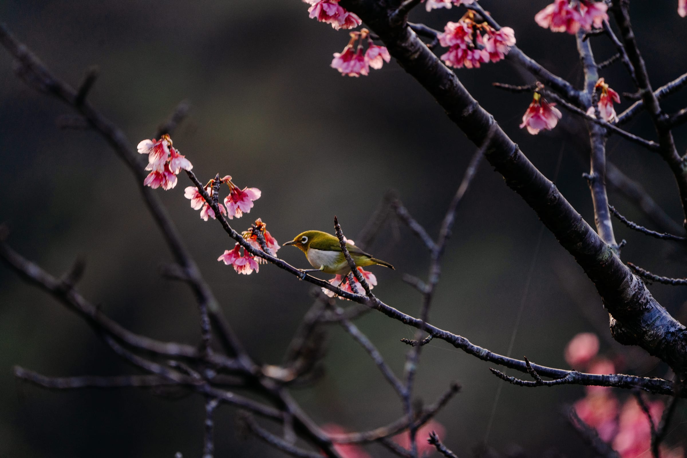
A Japanese white-eye among cherry blossoms in Okinawa, where Japan's cherry season starts in January.

Gear, Elopements
Discover Ceotha's handfasting cords, where ancient Celtic rituals meet intricate craftsmanship, ensuring your wedding ceremony is uniquely unforgettable.
26.2170° N, 127.7195° E
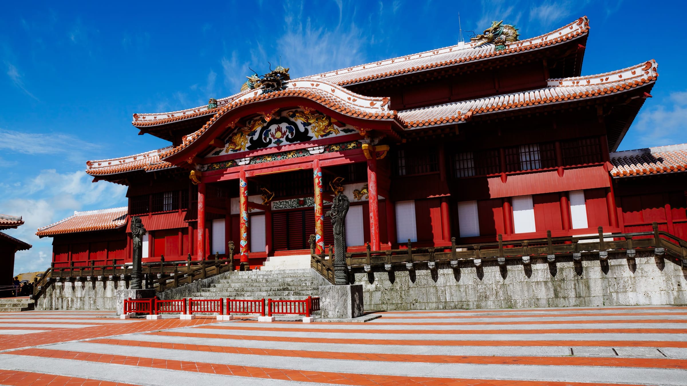
Dive into the rich history and cultural significance of Gusuku Sites and the related properties of the Ryukyu Kingdom. UNESCO World Heritage Site #972
51.1784° N, 115.5708° W
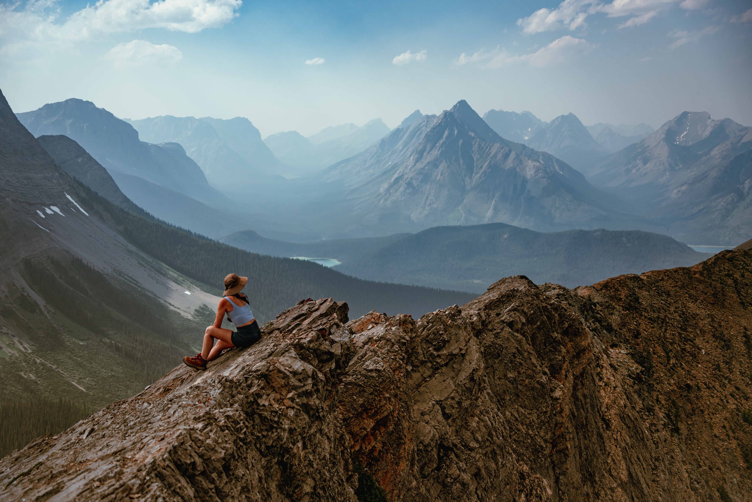
Explore the beauty of Banff National park. From hiking trails to scenic mountains, Banff has it all for nature lovers and adventure seekers.
38.8560° N, 104.9317° W
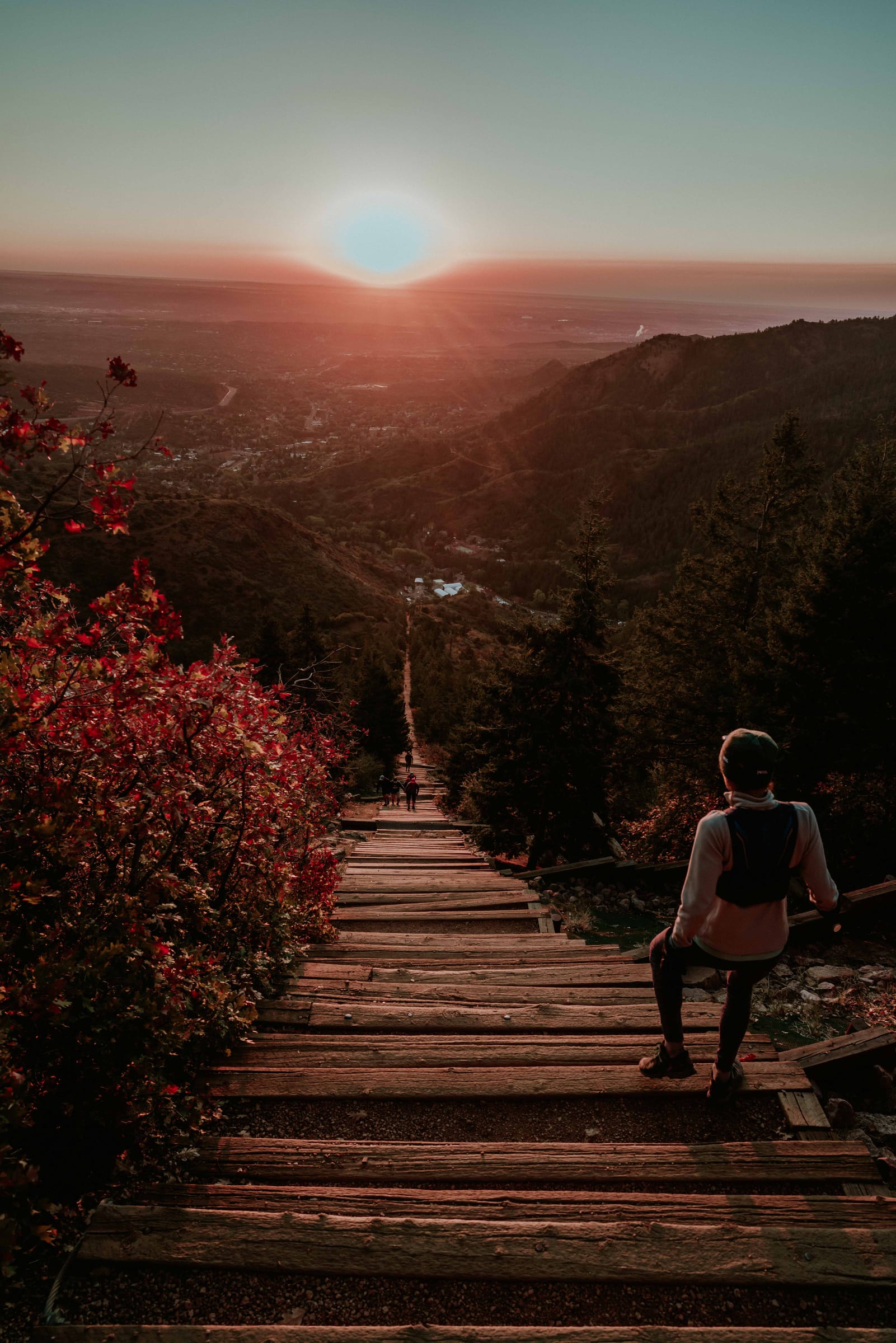
Sunrise on the Manitou Incline in Manitou Springs, Colorado.
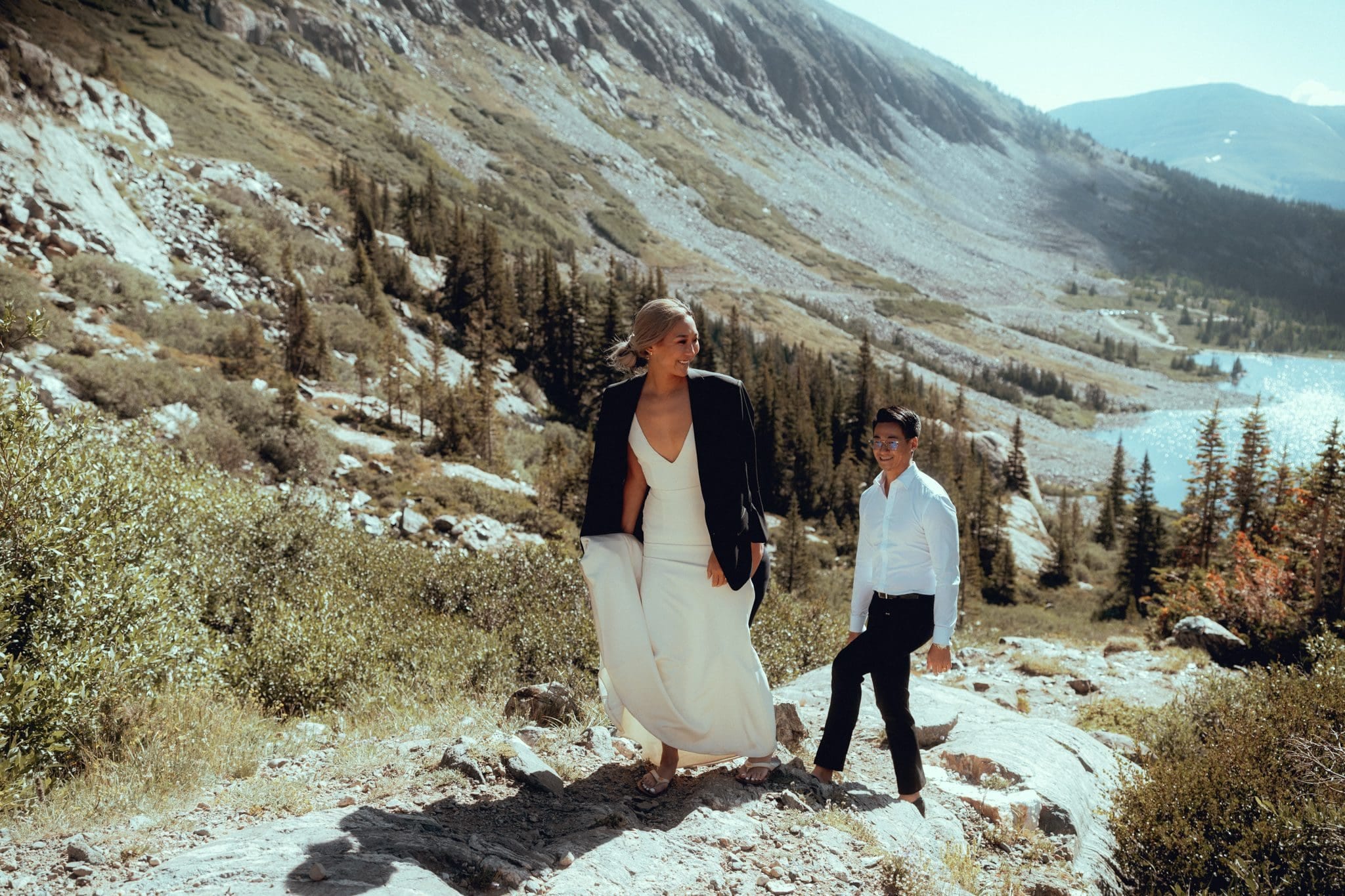
39.3859° N, 106.0812° W
Discover the Blue Lakes at Breckenridge, Colorado. It is a stunning and accessible location for nuptials and hikes. Just a short drive from Breckenridge
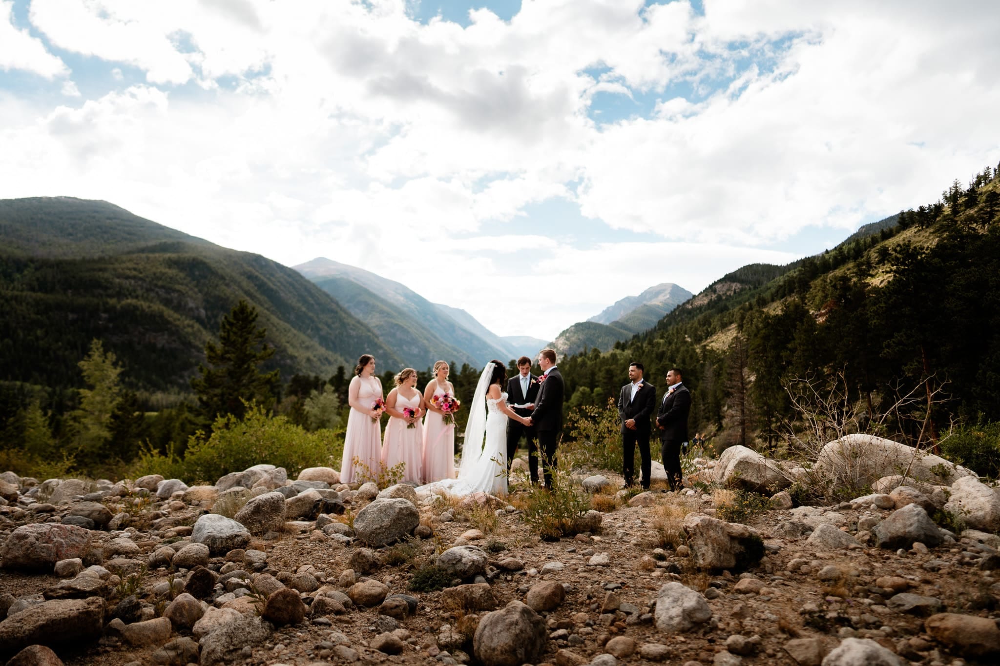
40.4085° N, 105.6308° W
The Alluvial Fan Falls is a beautiful cascade of water flowing down through a boulder field located in Rocky Mountain National Park. Schedule Venue here....Book Us here or...
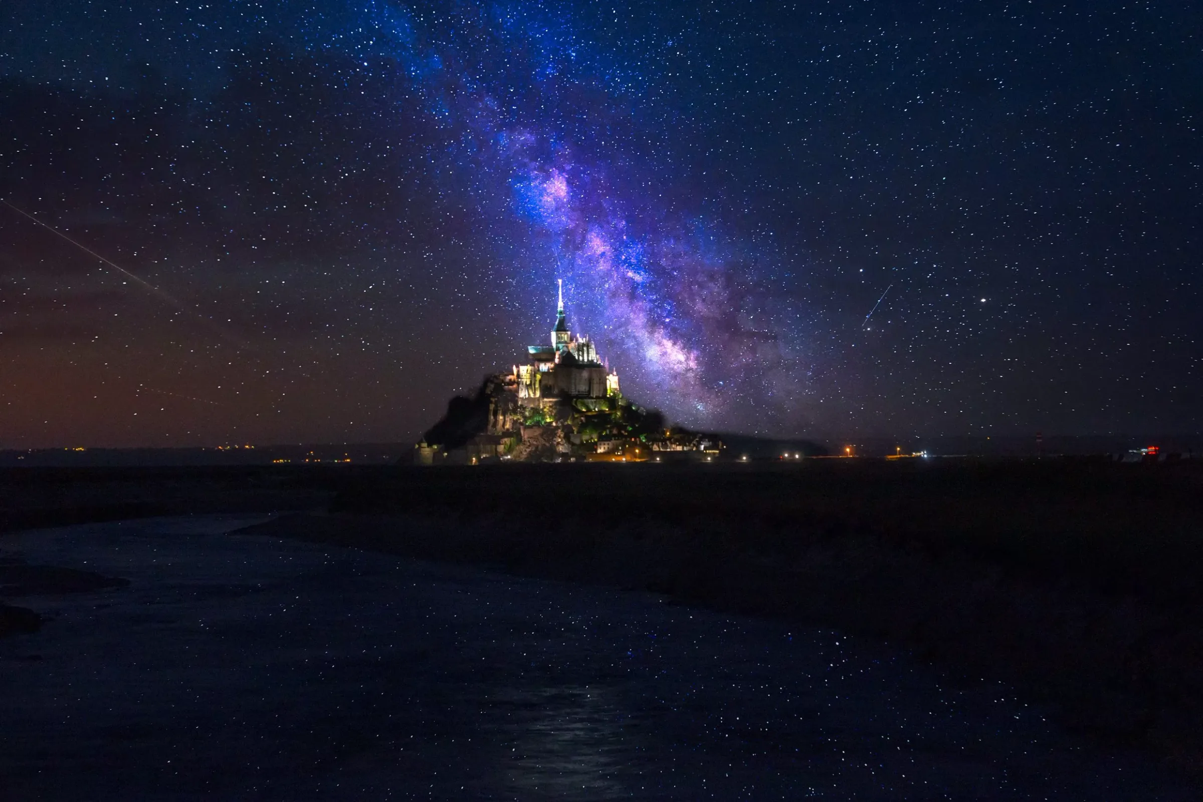
48.6360° N, 1.5115° W
Mont-Saint-Michel lit up under the Milky Way in Normandy, France.
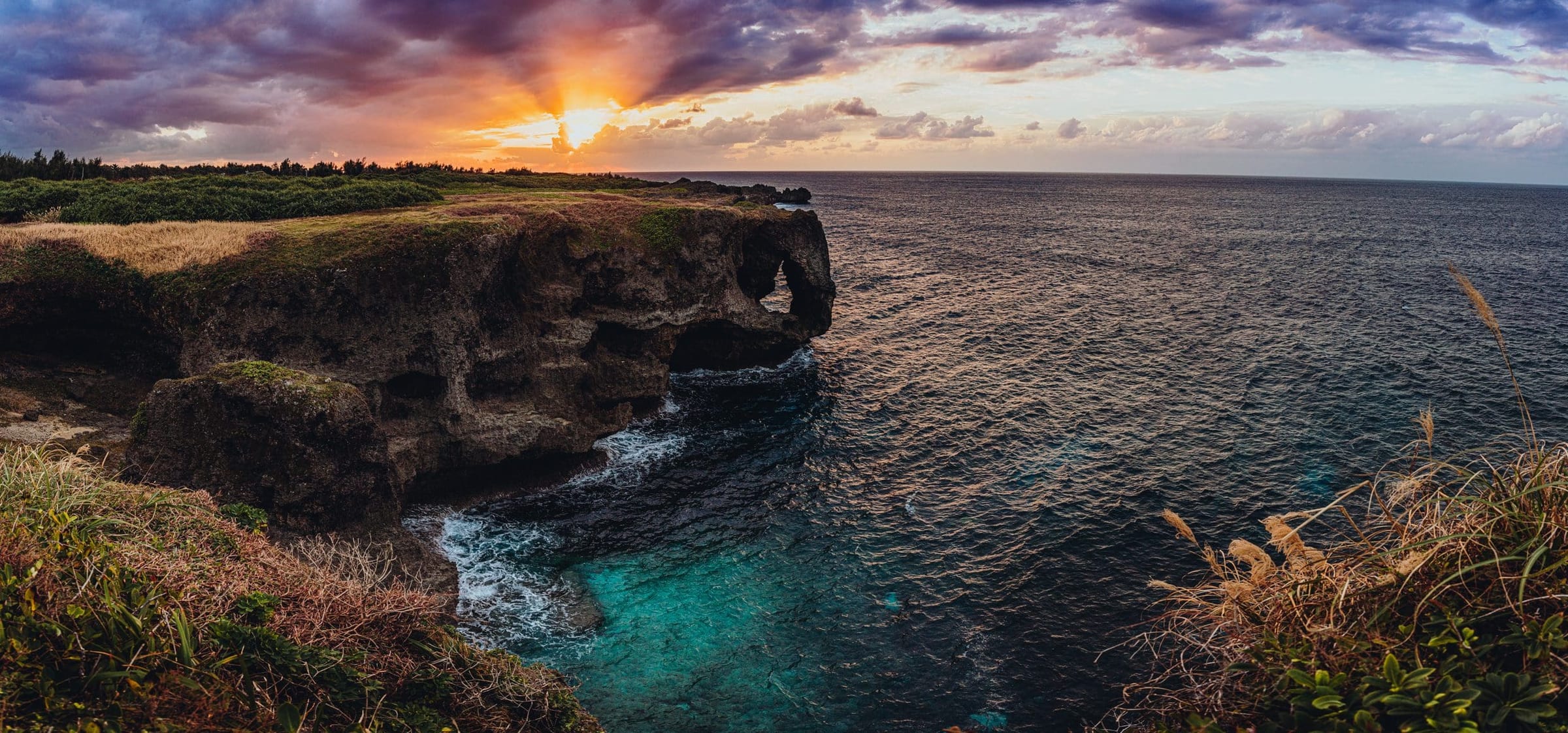
26.5054° N, 127.8504° E
Cape Manzamo, the elephant-trunk cliff in Onna, Okinawa, at sunset.

26.3344° N, 127.8056° E
Dive into the enchanting world of Okinawa, Japan, as we explore the very best this vibrant destination has to offer. Your go-to guide for unlocking Okinawa.
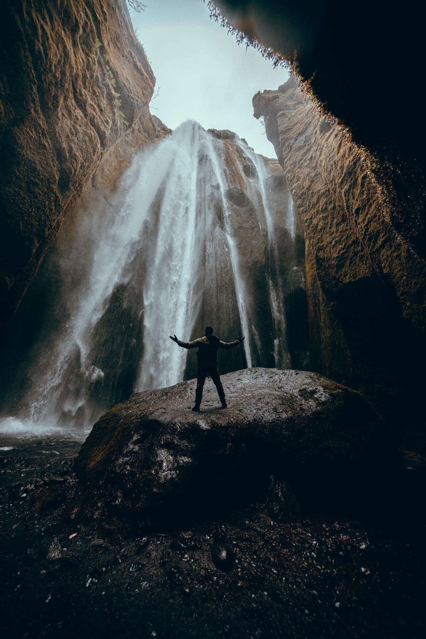
63.6208° N, 19.9863° W
Gljúfrabúi, the hidden waterfall in a canyon next to Seljalandsfoss, Iceland.
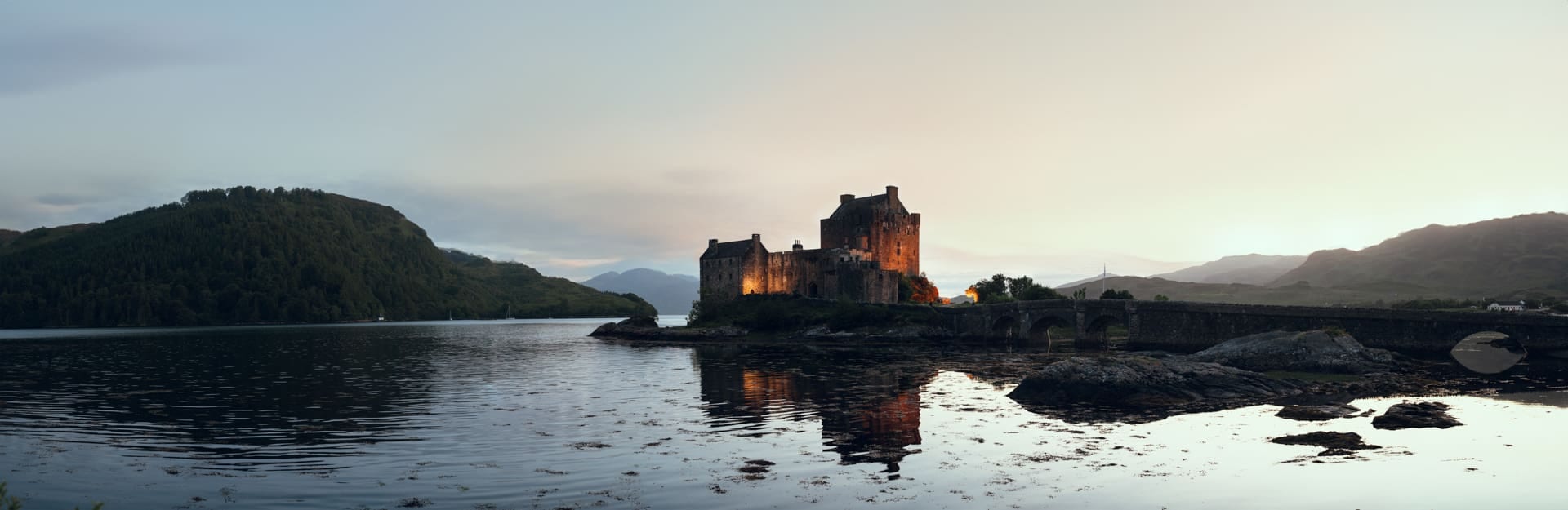
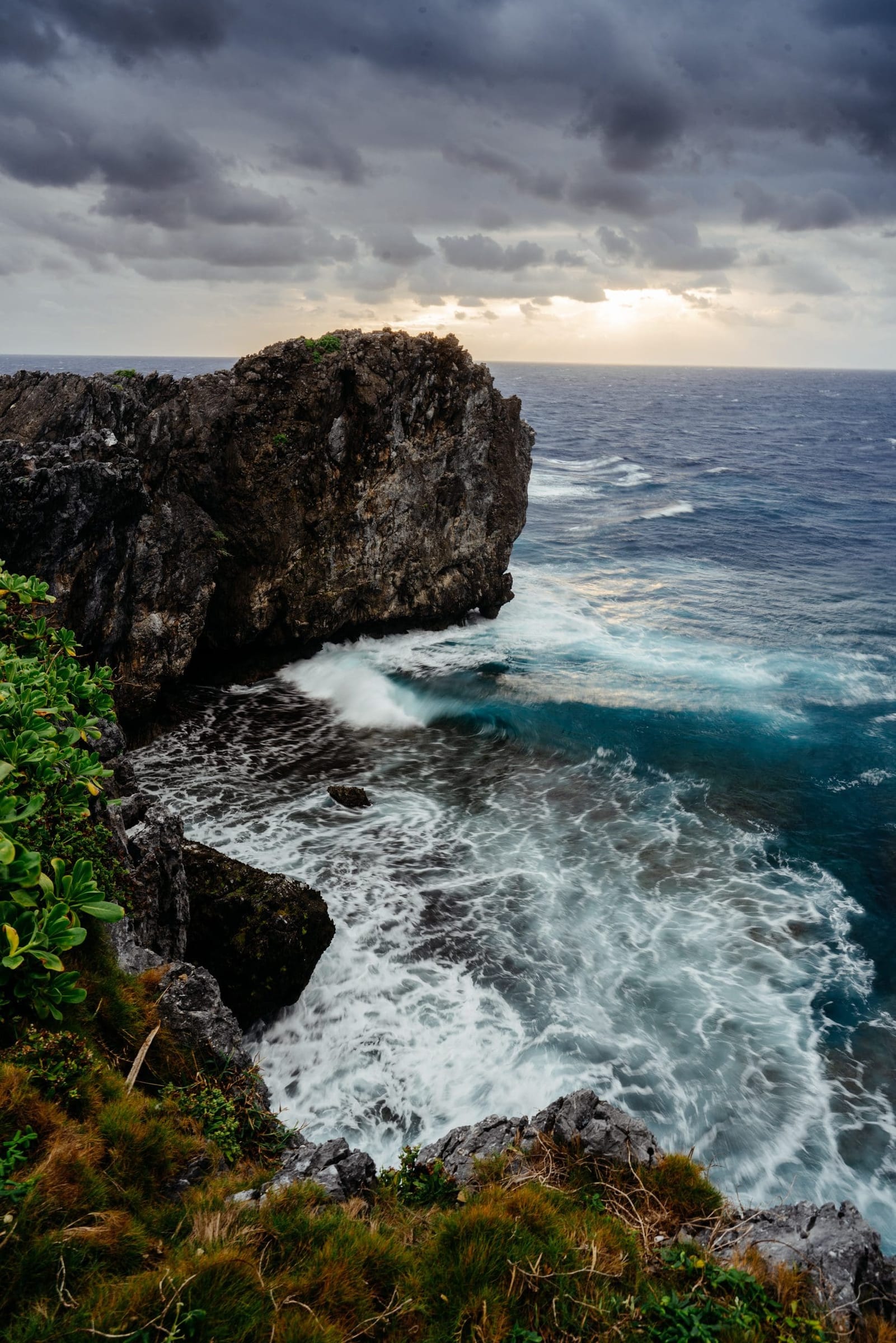
26.8718° N, 128.2636° E
Waves against the cliffs of Cape Hedo, the northernmost point of Okinawa Island.
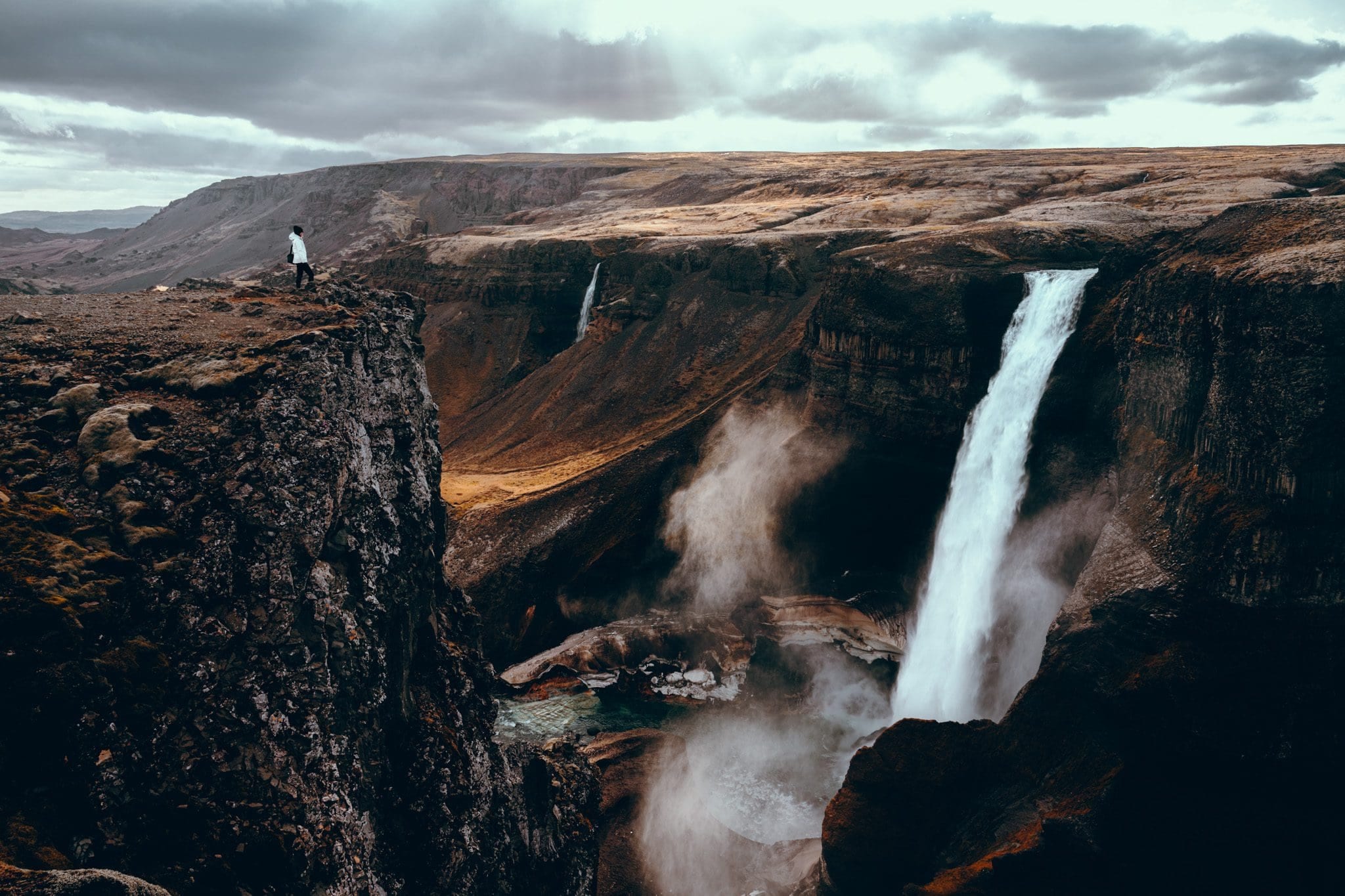
64.2053° N, 19.6855° W
Háifoss, one of Iceland's tallest waterfalls, in the southern highlands.
Portfolio, Culture
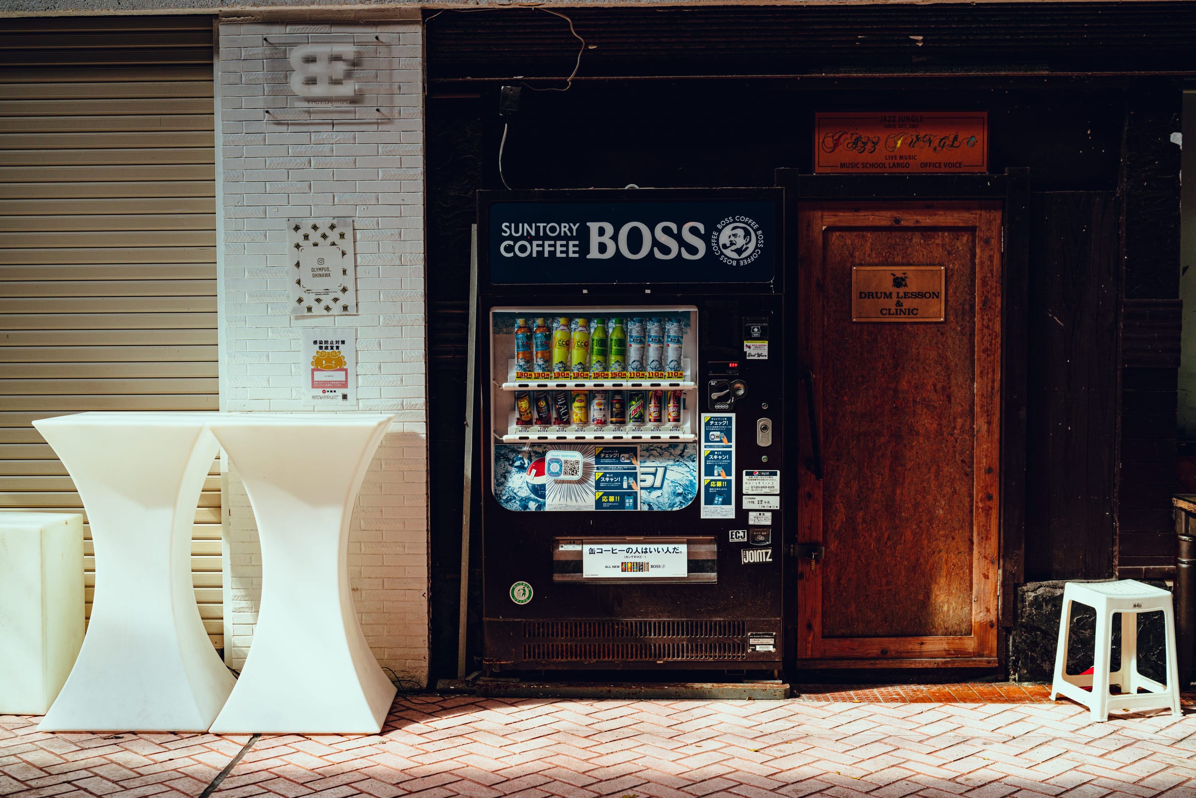
A Boss coffee vending machine on a street in Okinawa, Japan.
39.6236° N, 19.9223° E
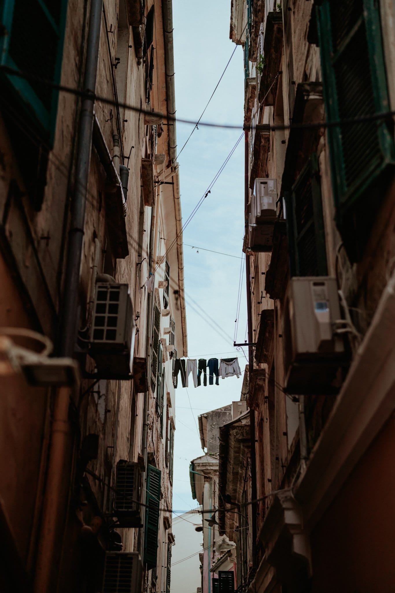
A narrow alley with laundry strung between tall shuttered buildings in Corfu, Greece.

51.5072° N, 0.1276° W
A neon sign reading 'Bar & Live Music Upstairs' beneath a display of flowers on a London pub.
40.3583° N, 105.5836° W
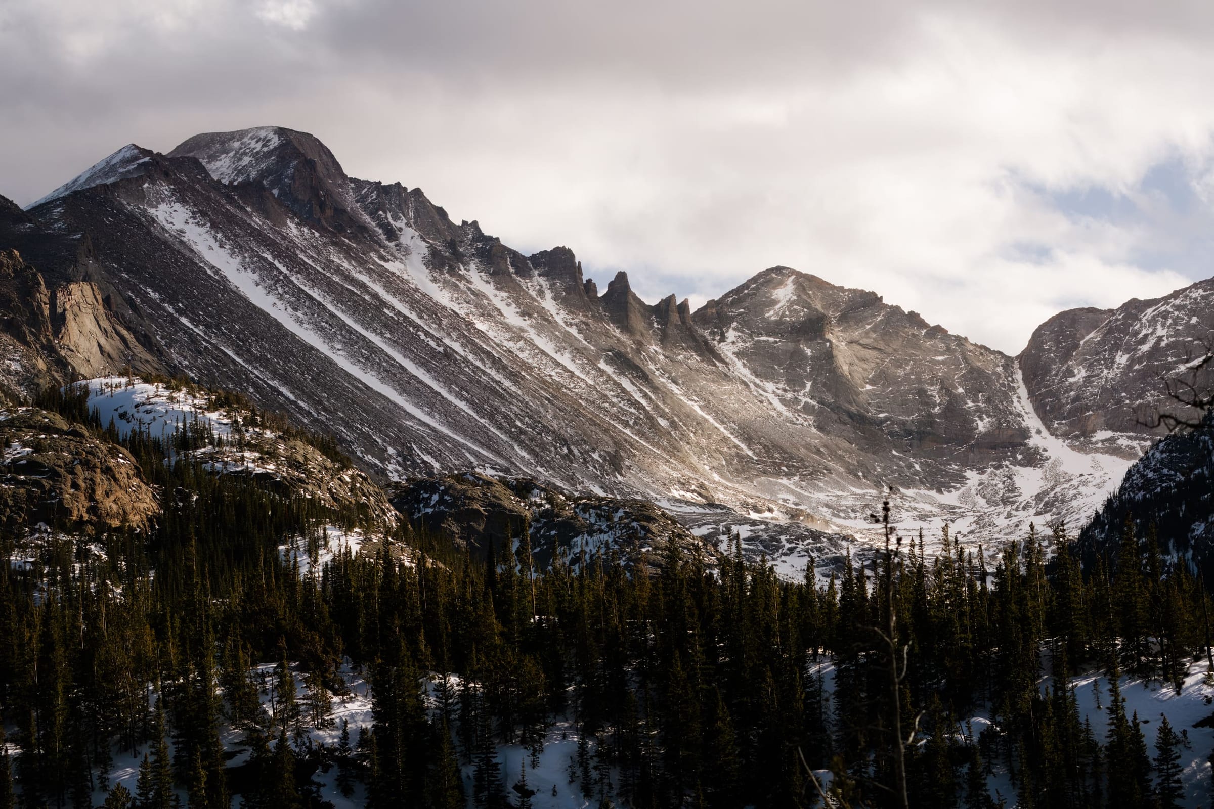
Snow-streaked peaks above a forested valley in Rocky Mountain National Park in winter.
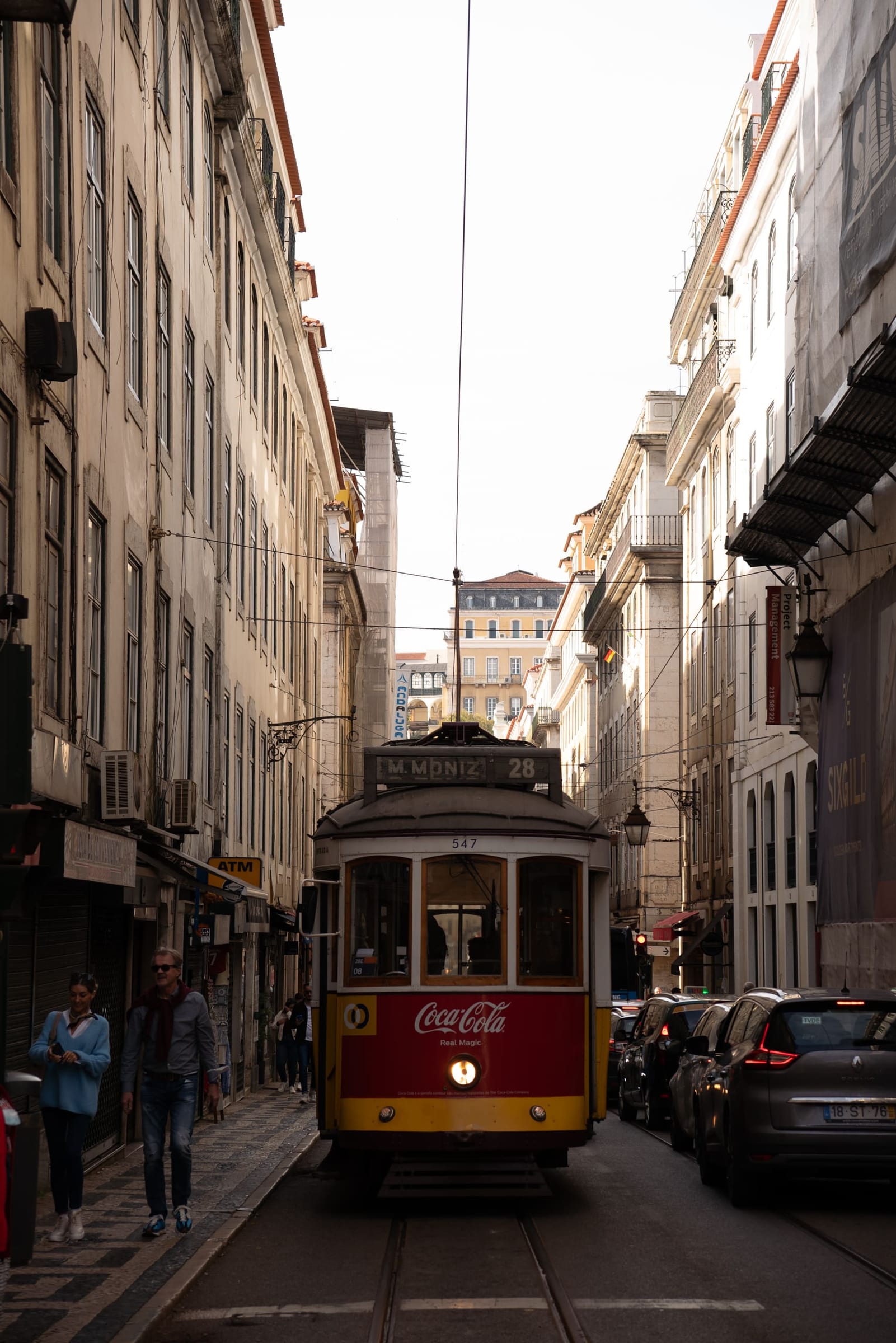
38.7118° N, 9.1284° W
One of Lisbon's vintage yellow trams in a narrow street, Portugal.
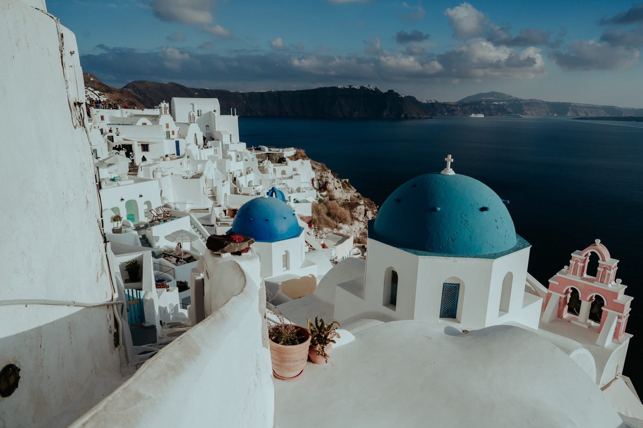
36.4613° N, 25.3761° E
The blue-domed churches of Oia above the Santorini caldera, Greece.
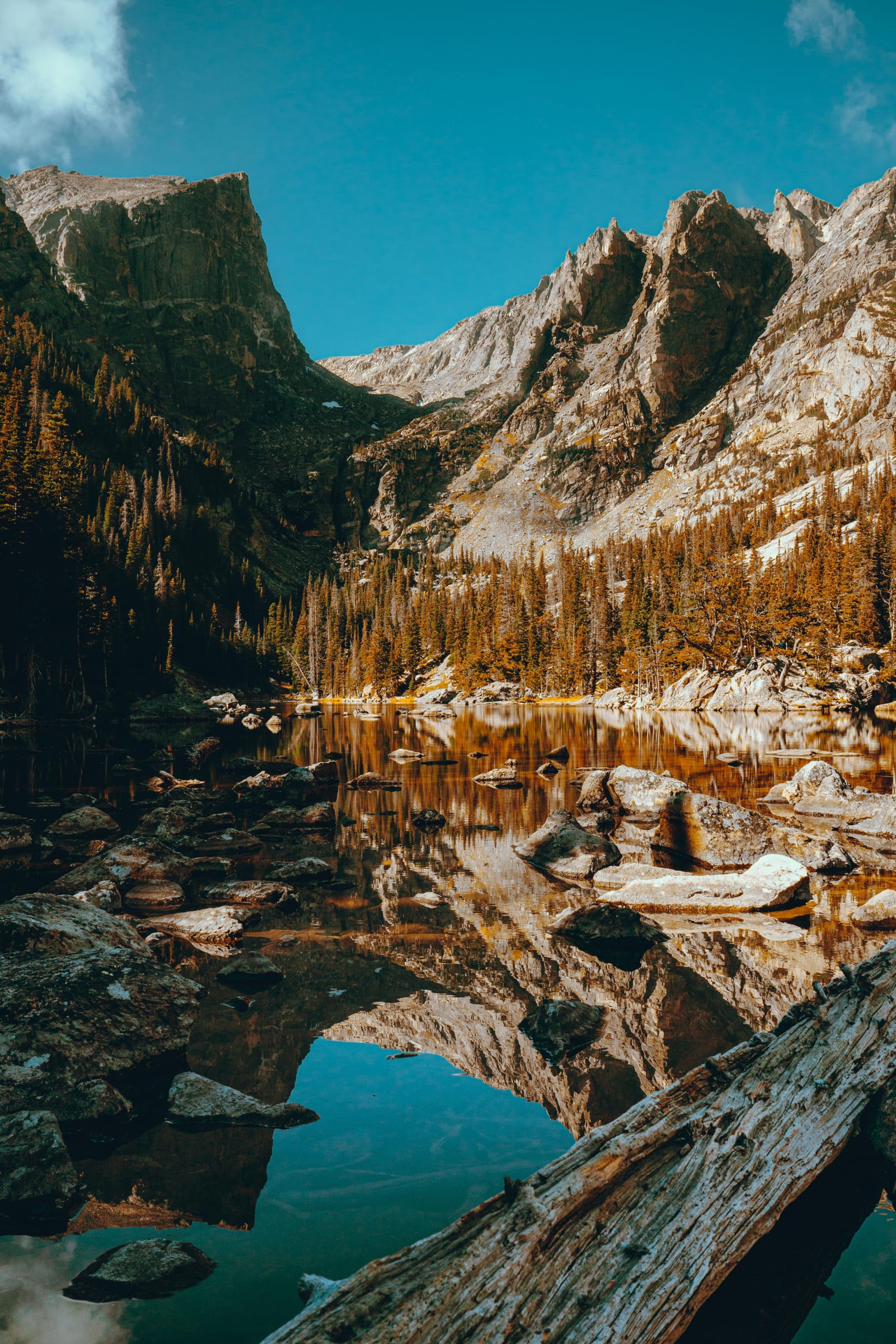
40.3094° N, 105.6590° W
Dream Lake and Hallett Peak in autumn, Rocky Mountain National Park, Colorado.
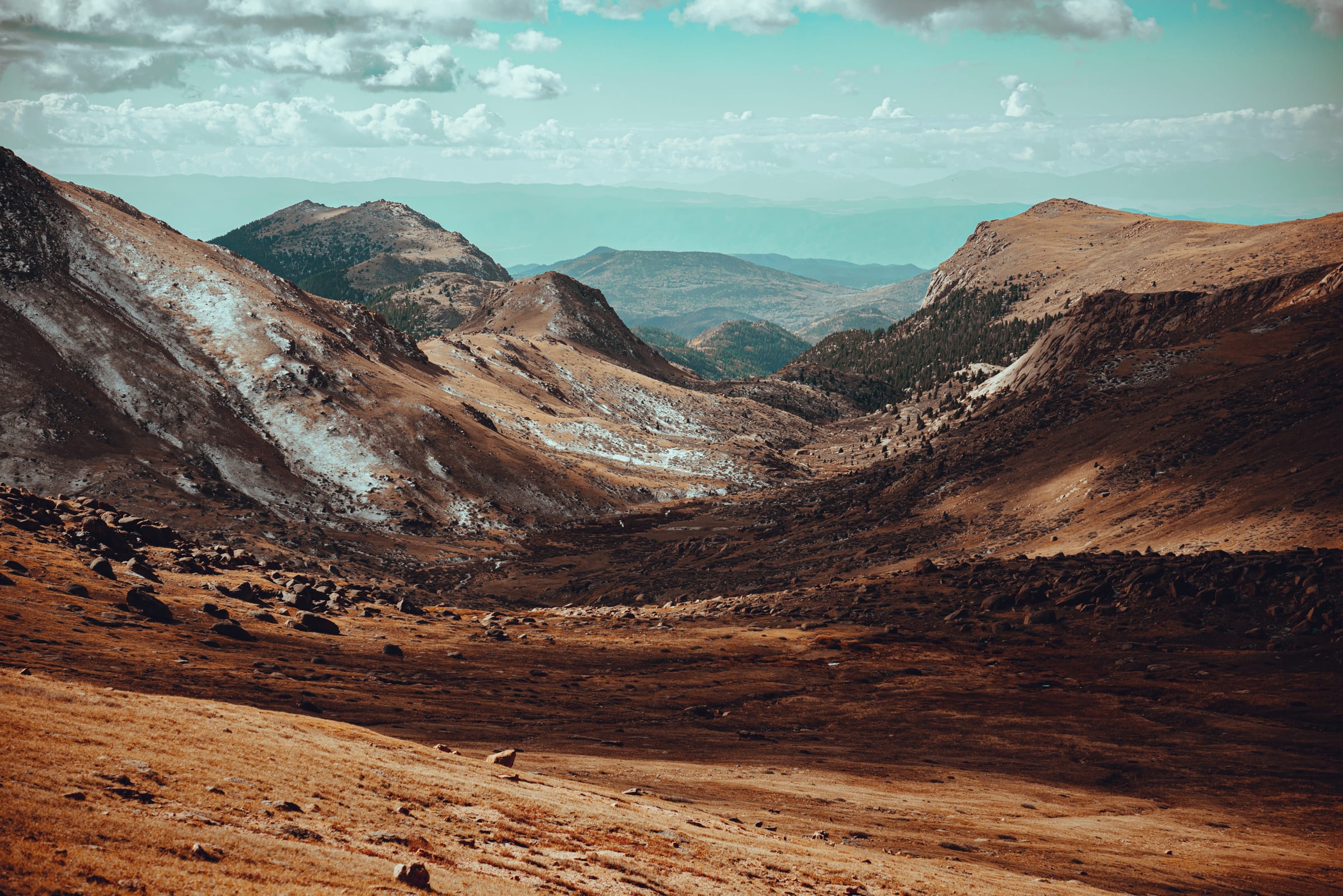
38.8404° N, 105.0439° W
The bare, rust-coloured slopes of Pikes Peak about a mile below the summit, on the trail up from the Woodland Park side.

Portfolio, Culture
A clay shisa, Okinawa's lion-dog guardian, among ferns in Okinawa, Japan.
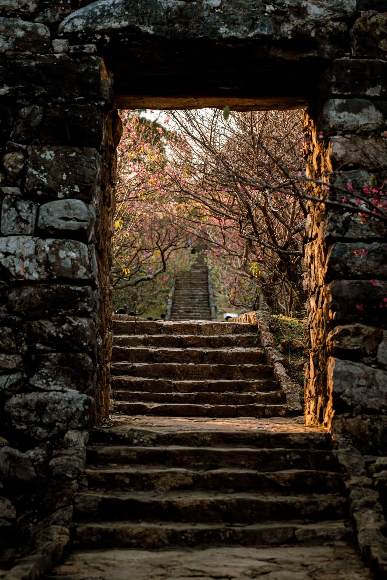
26.6920° N, 127.9290° E
The stone gate and steps of Nakijin Castle on Okinawa's Motobu Peninsula, a UNESCO World Heritage Site.
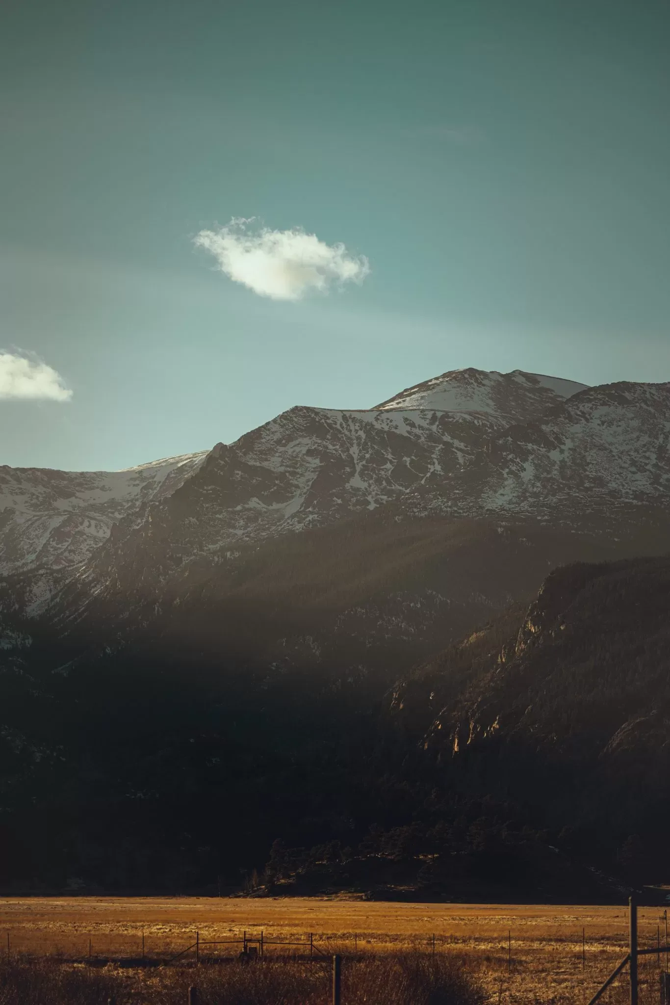
40.3583° N, 105.5836° W
Snow-dusted peaks catching the last light above a golden valley in Rocky Mountain National Park.
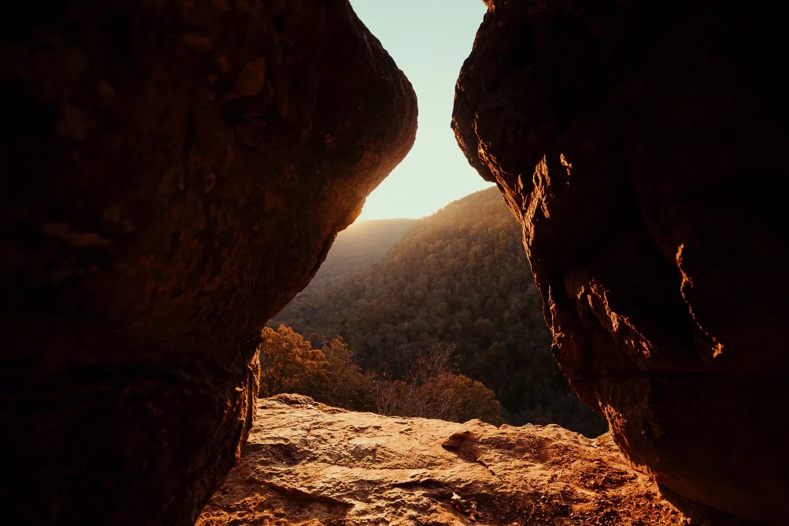
38.8738° N, 105.1237° W
The rising sun framed between two granite boulders on The Crags trail near Divide, Colorado.
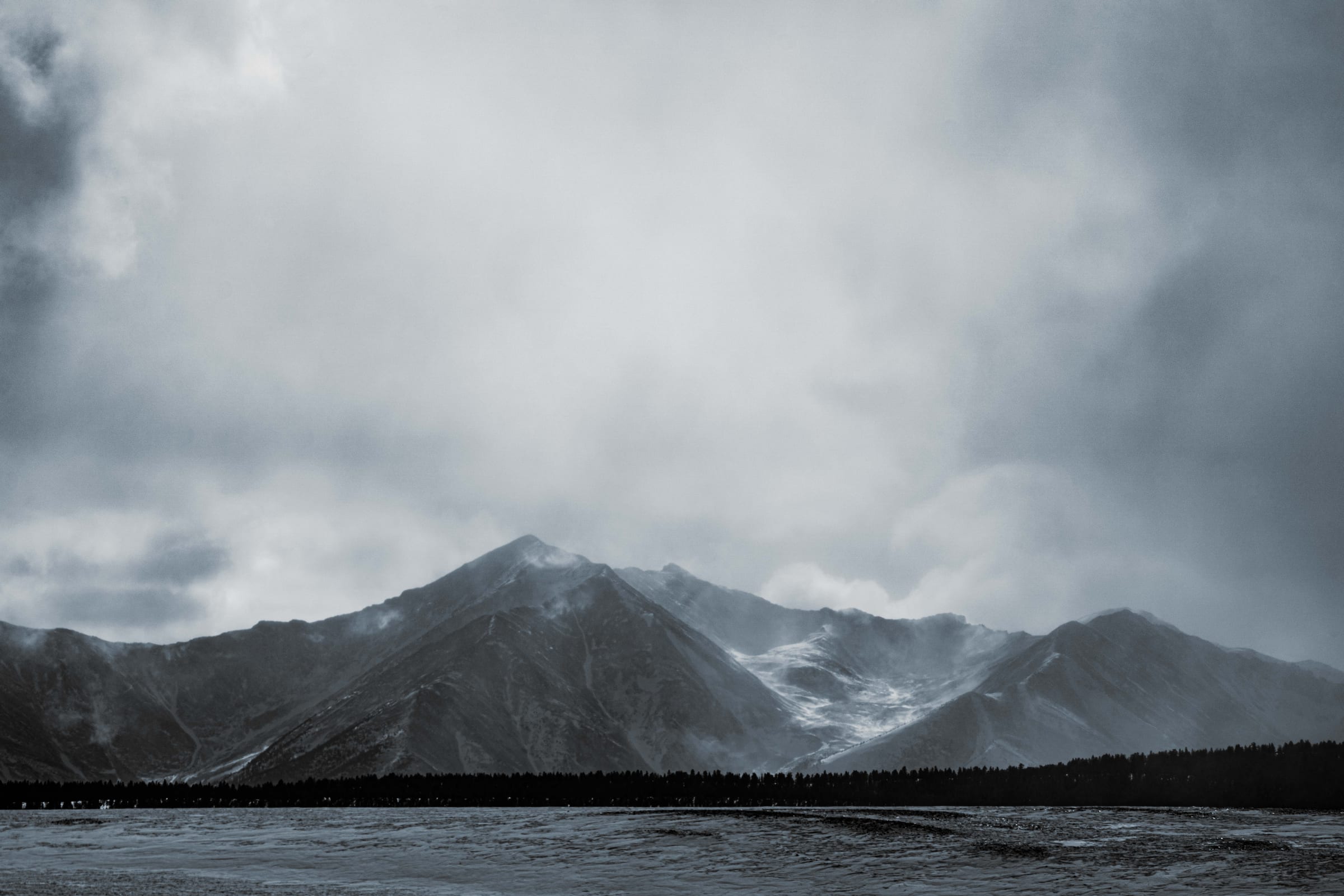
Portfolio, Photo Spot
Snowy peaks under heavy storm clouds, seen on the drive between Colorado Springs and Boulder.

39.0905° N, 94.5830° W
A street performer in white face paint outside a café during First Fridays in Kansas City's Crossroads Arts District.
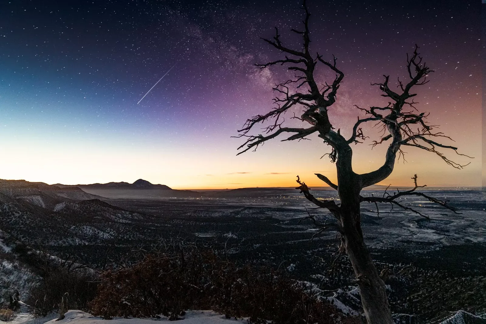
37.2538° N, 108.4556° W
A dead tree silhouetted against the Milky Way on a winter night near Mesa Verde National Park, Colorado.
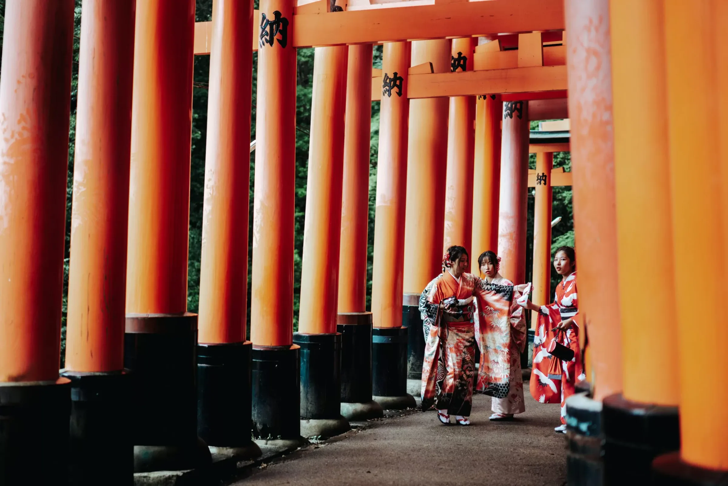
34.9671° N, 135.7727° E
Women in kimono walking beneath the vermilion torii gates of Fushimi Inari Taisha in Kyoto, Japan.
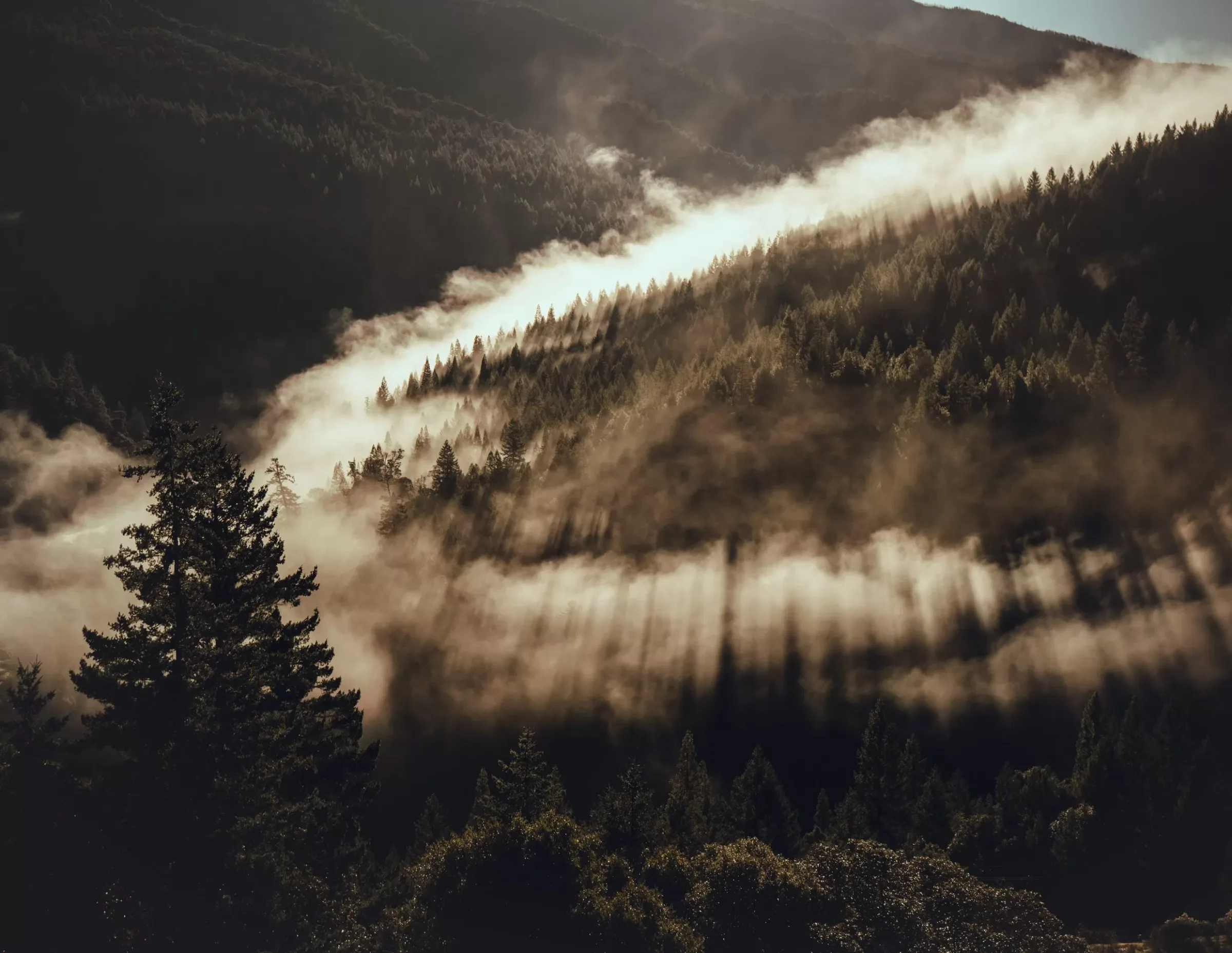
Portfolio, Photo Spot
Morning fog pouring over a forested ridge on the drive north from San Francisco to Redwood National Park.
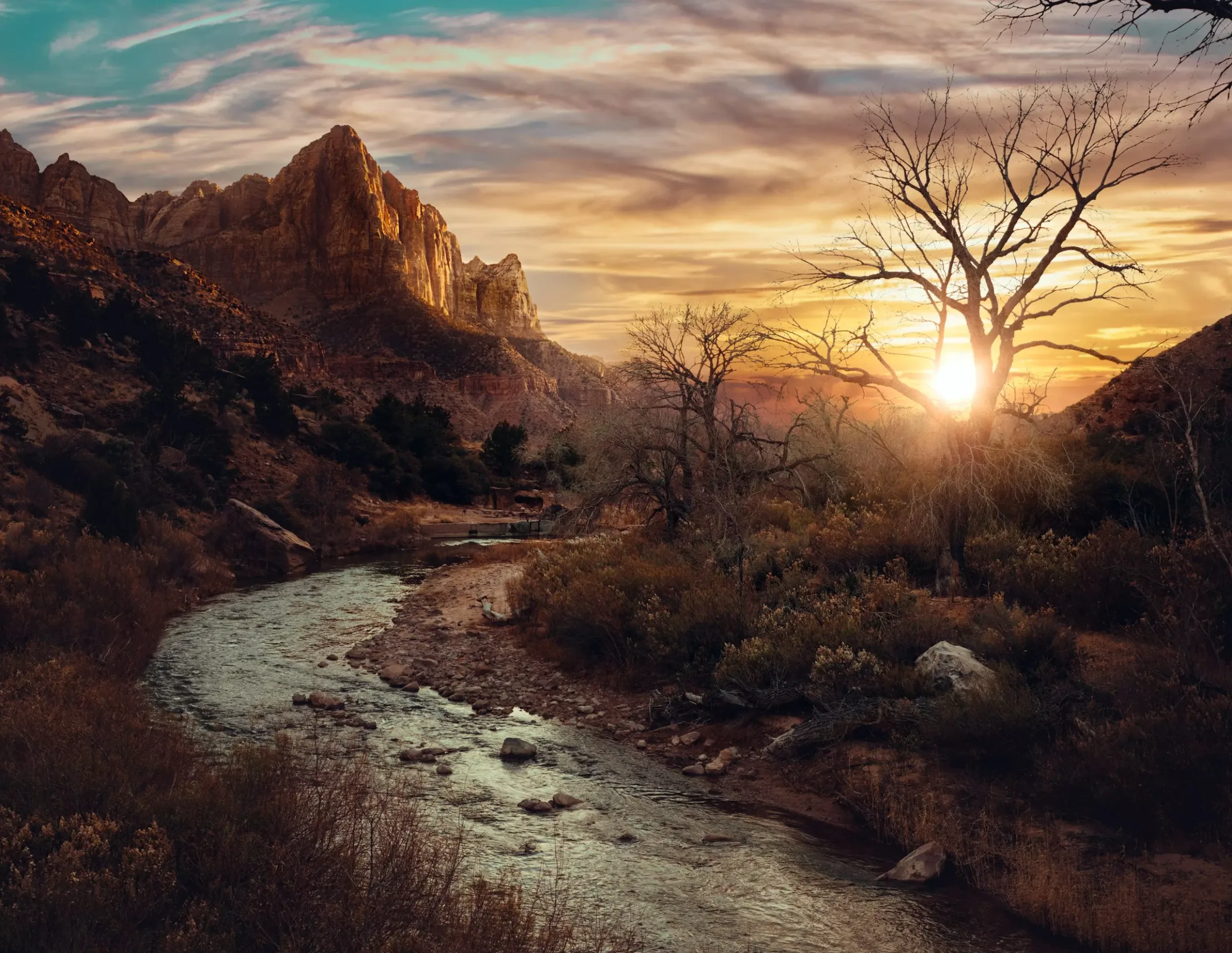
37.2982° N, 113.0263° W
Sunset over the Virgin River in Zion National Park, Utah.

37.7880° N, 122.4075° W
A flock of pigeons bursting into flight beside a white pickup truck in downtown San Francisco.
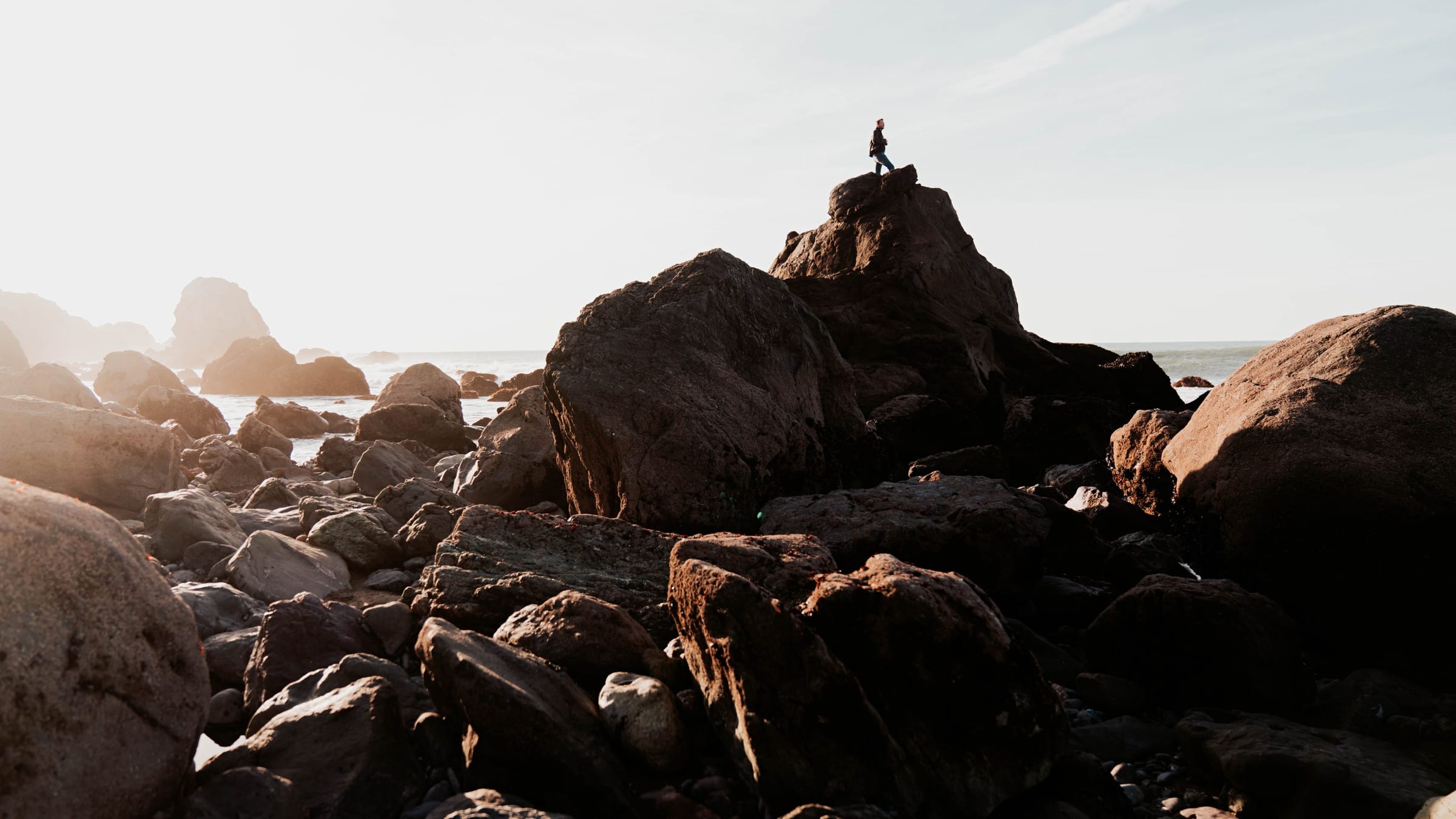
37.7797° N, 122.5113° W
A lone figure on top of the coastal boulders at Lands End in San Francisco, with the Golden Gate in view.
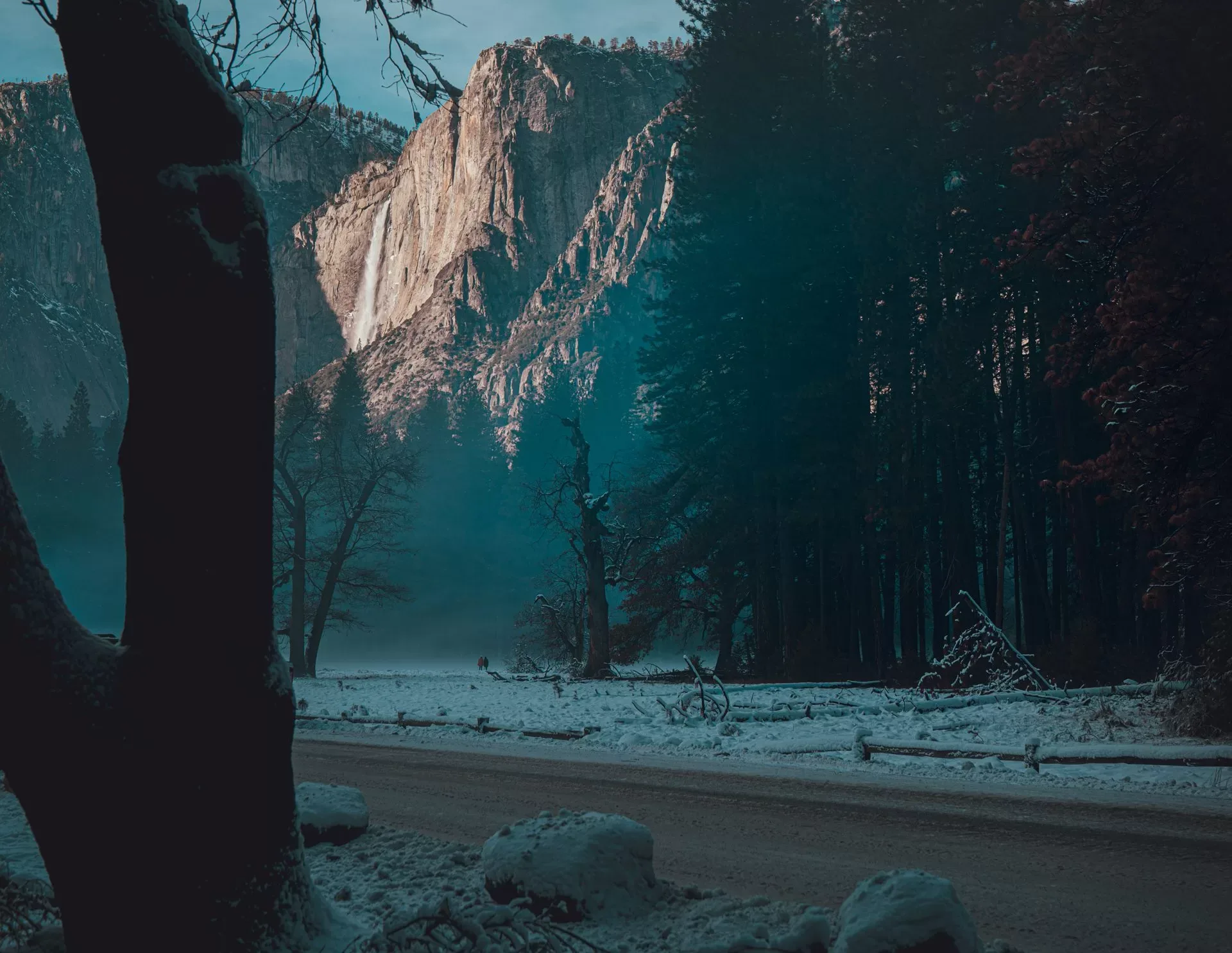
37.7482° N, 119.5869° W
A waterfall pouring off a granite cliff above a snowy road in Yosemite Valley, and a deer in the snowy pines.
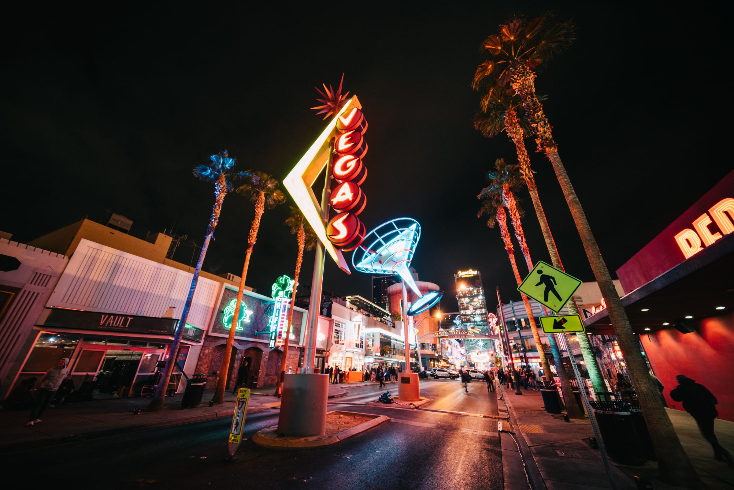
36.1685° N, 115.1390° W
Neon signs on Fremont East in downtown Las Vegas, Nevada, at night.
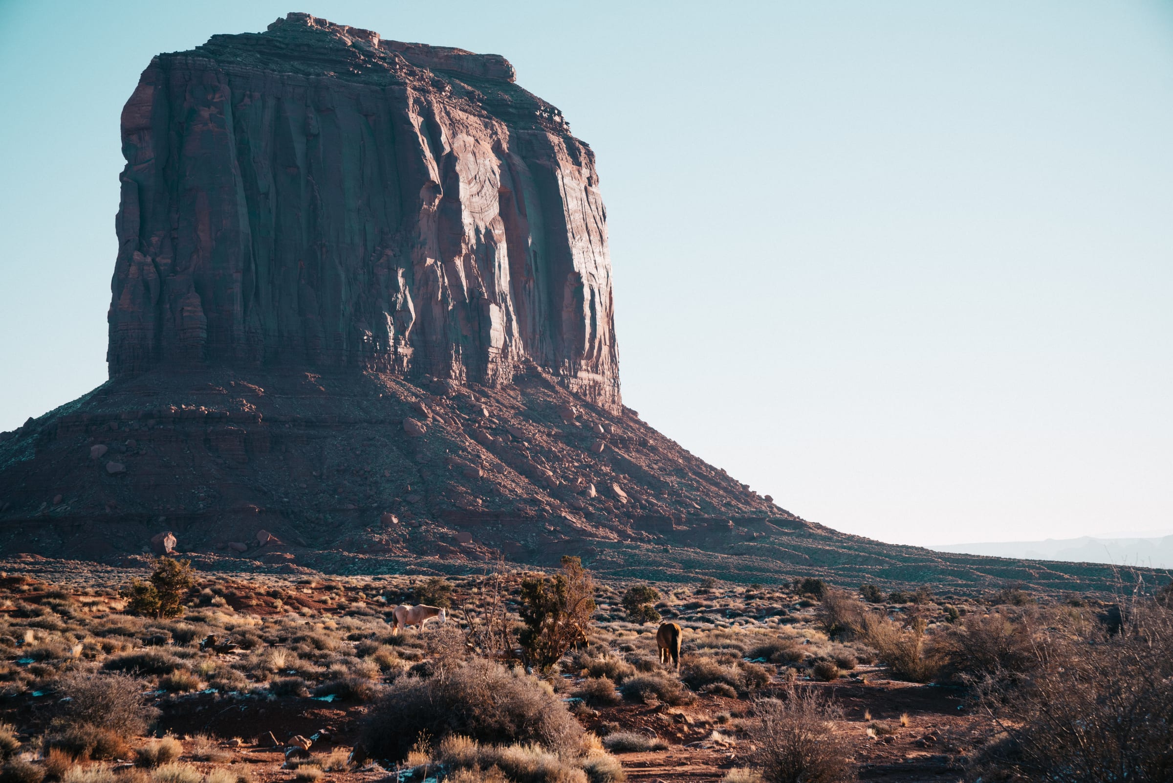
36.9821° N, 110.1119° W
Sunrise on a sandstone butte in Monument Valley, seen from beside The View Hotel.
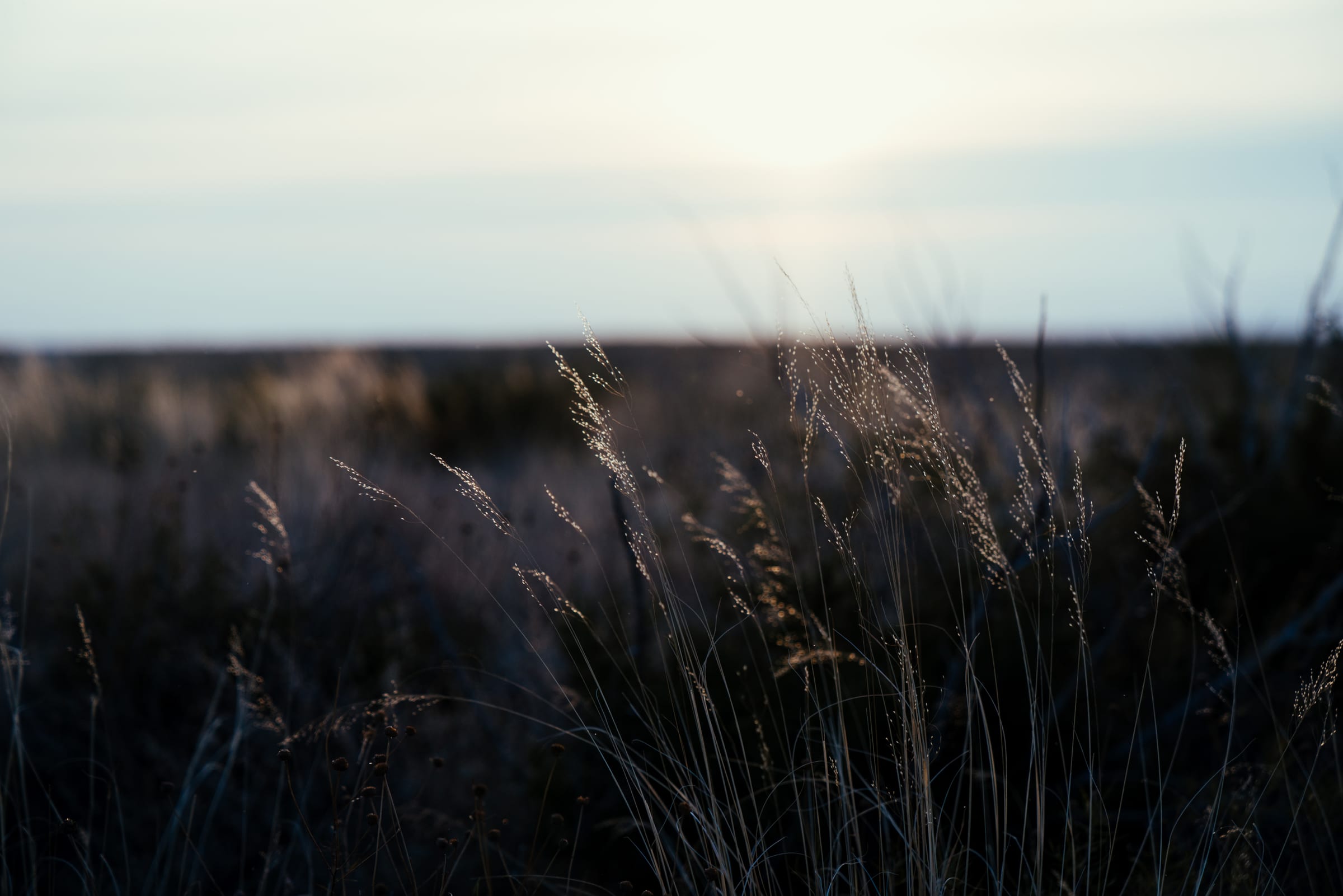
32.1754° N, 104.4442° W
Desert grasses backlit by soft morning light near Carlsbad Caverns National Park, New Mexico.
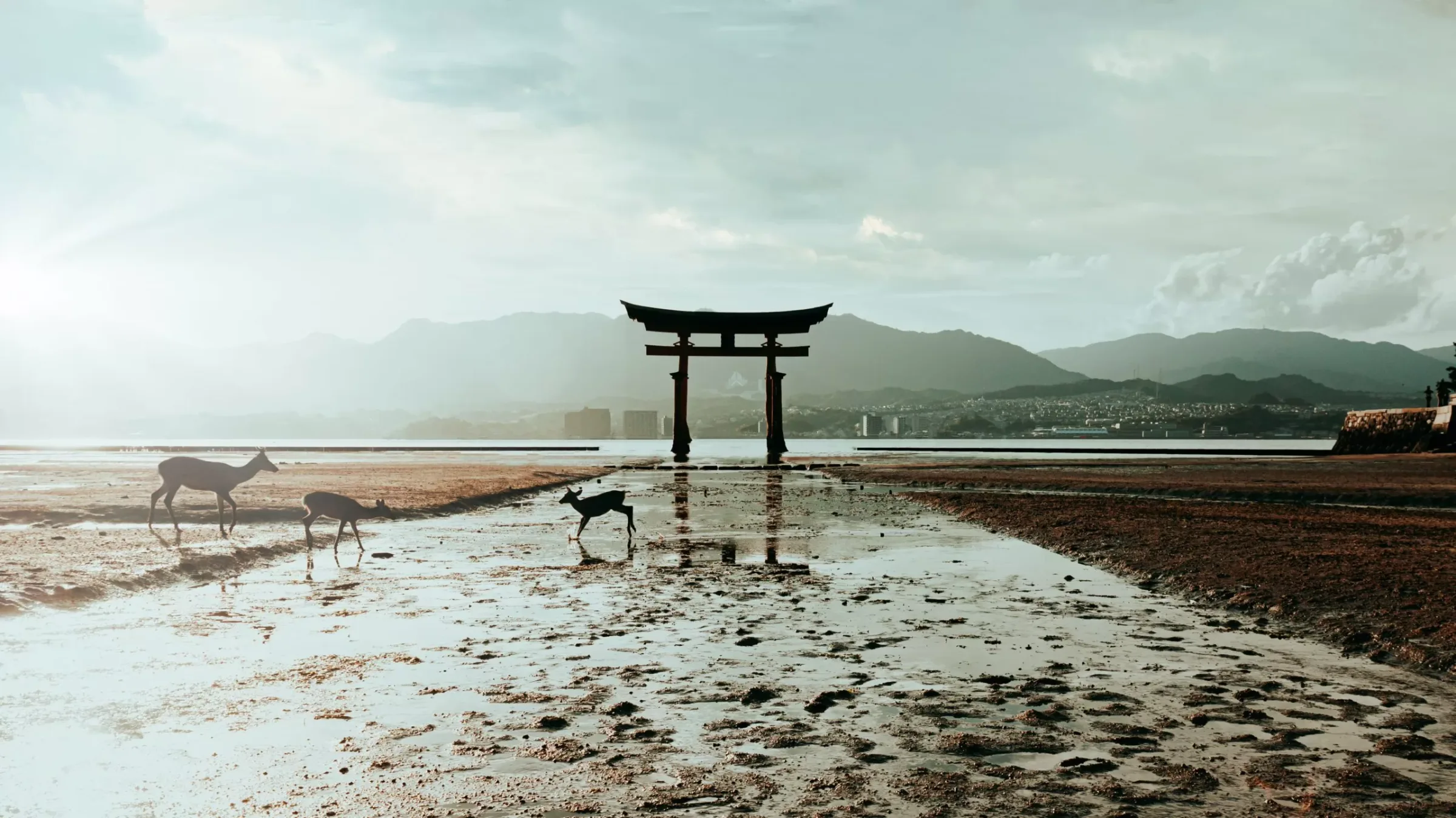
34.2973° N, 132.3181° E
The great torii gate of Itsukushima Shrine on Miyajima Island at low tide, with deer on the tidal flats, and candlelight in Daishō-in temple's lantern cave.
26.2170° N, 127.7195° E
Shuri Castle's main hall in Naha, Okinawa, photographed in 2012 before the 2019 fire.